
North end: Phillips Road Counties: Pope | West end: AR 105 / AR 247 Length 1.74 km | |
 | ||
South end: US 64 / AR 247 – Pottsville East end: Local road outside Atkins | ||
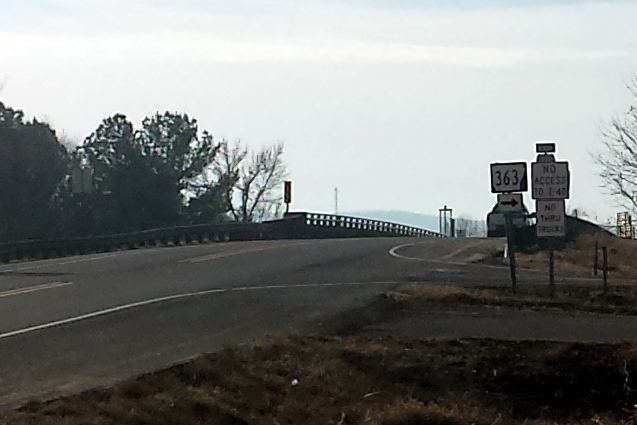
Arkansas Highway 363 is the name of two state highways in Pope County.
Contents
Map of AR-363, Arkansas, USA
Section 1
Arkansas Highway 363 is a 1.0-mile-long (1.6 km) state highway in Pope County near Pottsville. The route runs north from US 64/AR 247 across Interstate 40 to terminate at Phillips Road. The entire route is in Pottsville, Pope County.
Section 2
Arkansas Highway 363 is a brief 2.1-mile-long (3.4 km) state highway in Pope County. It runs east into Atkins to terminate at AR 105/AR 247 at the interchange with Interstate 40. The entire route is in Pope County.
References
Arkansas Highway 363 Wikipedia(Text) CC BY-SA