
Existed: May 28, 1969 – present Length 7.403 km | Counties: Baxter Constructed 28 May 1969 | |
 | ||
North end: US 64 / US 412 in Gassville South end: US 64 / US 412 in Gassville | ||
Highway 345 (AR 345, Ark. 345, and Hwy. 345) is a designation for two north–south state highways in Baxter County, Arkansas. A western segment of the route runs 3.36 miles (5.41 km) between US 62 BUS in Cotter and US 62/US 412 in Gassville. An eastern segment runs 0.63 miles (1.01 km) from US 62 to AR 126 in Gassville.
Contents
- Map of AR 345 Gassville AR 72635 USA
- Western segment
- Eastern segment
- History
- Major intersections
- References
Map of AR-345, Gassville, AR 72635, USA
Western segment
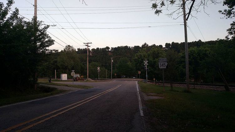
AR 345 begins at the intersection of US 62 BUS, Combs Avenue, and Cotter Road in Cotter. It first heads south on Cotter Road crossing a railroad at-grade. It runs northeast through the southern part of Cotter paralleling the White River before zig-zaging its way north when it enters Gassville and terminates at US 62/US 412.
Eastern segment
The other segment of AR 345 begins at the intersection of Lakeview Drive and US 62/US 412. It heads north for about 0.33 miles (0.53 km) on Lakeview Drive before turning east onto Vine Street and terminating at AR 126.
History
The short section in Gassville was created to serve an industrial area on May 28, 1969, initially only running due north as Lakeview Drive. The route was extended east from the Mar-Bax shirt factory along Vine Street to Highway 126 on July 28, 1977. The second segment was created on May 23, 1973 pursuant to Act 9 of 1973 by the Arkansas General Assembly. The act directed county judges and legislators to designate up to 12 miles (19 km) of county roads as state highways in each county.
Major intersections
The entire route is in Baxter County.