
Length 48.15 km | ||
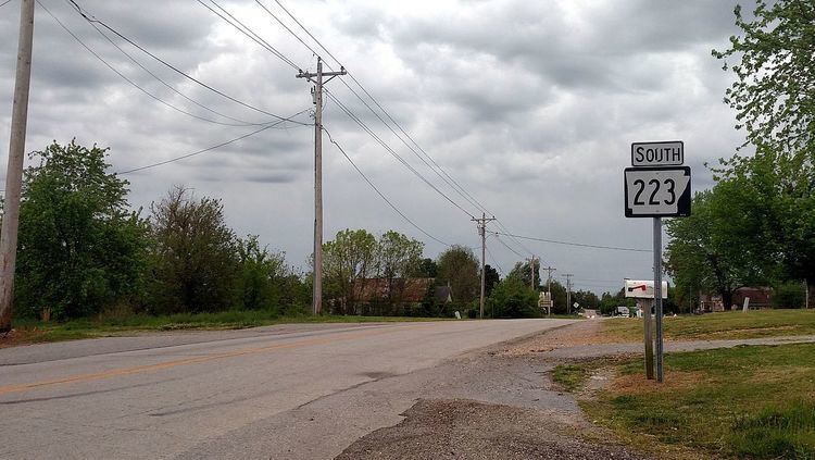 | ||
Arkansas Highway 223 (AR 223, Hwy. 223) is a north–south state highway in north Arkansas. The route of 29.92 miles (48.15 km) runs from Highway 56 in Calico Rock north across US Route 62/US Route 412 (US 62/US 412) to Missouri Supplemental Route E (SSR-E) at the Missouri state line.
Contents
Map of AR-223, Arkansas, USA
Route description
AR 223 begins in Calico Rock at Highway 56. The route runs north to meet the southern terminus of Highway 177 in Pineville. The route continues north to meet US 62/US 412 in Viola in Fulton County, after which it continues north to the Missouri state line where the route extends as Missouri supplemental route E.
References
Arkansas Highway 223 Wikipedia(Text) CC BY-SA