
Country United States FIPS code 05-55580 Elevation 210 m Zip code 72566 Local time Sunday 11:25 PM | Time zone Central (CST) (UTC-6) GNIS feature ID 0078015 Area 4.6 km² Population 234 (2013) Area code 870 | |
 | ||
Weather 12°C, Wind E at 6 km/h, 62% Humidity | ||
Pineville is a town in Izard County, Arkansas, United States. The population was 246 at the 2000 census.
Contents
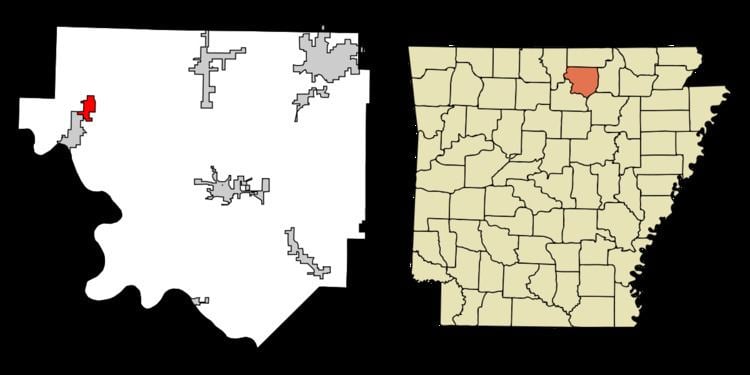
Map of Pineville, AR, USA
Geography
Pineville is located at 36°9′21″N 92°6′50″W (36.155781, -92.113759).
According to the United States Census Bureau, the town has a total area of 4.6 km² (1.8 mi²), all land.
List Of Highways
Demographics
As of the census of 2010, there were 238 people, 97 households, and 72 families residing in the town. The population density was 53.4/km² (138.0/mi²). There were 112 housing units at an average density of 23.9/km² (61.7/mi²). The racial makeup of the town was 97.1% White.
Of the 97 households, 27.8% had children under the age of 18 living with them, 58.8% were married couples living together, 11.3% had a female householder with no husband present, and 25.8% were non-families. 24.7% of all households were made up of individuals and 12.4% had someone living alone who was 65 years of age or older. The average household size was 2.45 and the average family size was 2.90.
In the town, the population was spread out with 23.9% under the age of 20, 25.1% from 20 to 39, 25.2% from 40 to 59, and 25.6% who were 60 years of age or older. The median age was 40.5 years. The ratio of men to women was 52% men, 43% women.
The median income for a household in the town was $42,750, and the median income for a family was $47,857.