
West end: US 62 / US 412 East end: AR 5 | Length 11.59 km | |
 | ||
Counties Marion County, Arkansas, Baxter County, Arkansas | ||
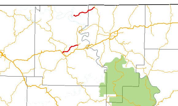
Arkansas Highway 202 (AR 202 and Hwy. 202) is a designation for two east–west state highway in Arkansas. One segment runs 7.38 miles (11.88 km) from US 62/US 412 in Yellville east to Highway 178. A second portion runs 9.63 miles (15.50 km) from Bull Shoals Lake east to Arkansas Highway 5 in Baxter County.
Contents
Map of AR-202, Yellville, AR 72687, USA
Yellville to Flippin
The route begins at US 62/US 412 in Yellville and runs east to AR 14 in Summit. The route continues east to AR 178 in Flippin, where it terminates. Highway 202 is entirely two–lane, undivided.
Table Rock Lake to Highway 5
Highway 202 begins at County Route 141 at the Oakland Use Area near Bull Shoals Lake and runs east. After serving the unincorporated community of Oakland, the highway enters Baxter County to terminate at Highway 5. The route is a low traffic route, with under 700 vehicles per day along its length as of 2010.