
Existed: 1924 – present Constructed 1924 | Length 419.7 km | |
 | ||
West end: US 412 / AR 59 in Siloam Springs East end: US 67B / AR 36 in Searcy Major cities Fayetteville, Searcy, Clinton, Siloam Springs, Heber Springs Counties Benton County, Arkansas | ||
Arkansas highway 16 fayetteville to arkansas highway 21
Highway 16 (AR 16, Ark. 16, and Hwy. 16) is an east–west state highway in north Arkansas. The route of 260.77 miles (419.67 km) runs from US Route 412/Highway 59 (US 412/AR 59) in Siloam Springs east across to US Route 67 Business/Highway 36 (US 67B/AR 36) in Searcy. With the exception of overlaps of 10 miles (16 km) through Fayetteville, Highway 16 is a narrow, winding, 2-lane road.
Contents
- Arkansas highway 16 fayetteville to arkansas highway 21
- Map of AR 16 Arkansas USA
- Route description
- Siloam Springs spur
- References
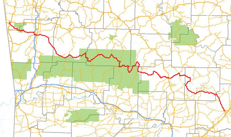
Map of AR-16, Arkansas, USA
Route description
AR 16 begins at US 412/AR 59 in Siloam Springs. It winds south through Ozark National Forest and enters Fayetteville as Wedington Drive. AR turns south at Fulbright Expressway and becomes 15th Street with AR 112 in Fayetteville, passing Baum Stadium. Exiting town, AR 16 meets AR 74 near Elkins and AR 23 in St. Paul. The route continues to run along the north edge of Ozark National Forest through unincorporated communities. AR 16 meets AR 21 in Fallsville and briefly exits the forest. Continuing through Ozark National Forest, AR 16 meets AR 7 and AR 123.
Exiting the forest, AR 16 winds before meeting US 65/AR 9/AR 330 north of Clinton. AR 16 and AR 9 concur until Shirley, when AR 16 joins AR 110 and begins south to Fairfield Bay. Crossing Greers Ferry Lake and entering Greers Ferry, AR 16 and AR 110 split, with AR 16 adding AR 92 and AR 225 continuing south. AR 16 meets AR 25/AR 107 (Heber Springs Road) southwest of Pearson. The route continues east, becoming Pangburn Road and running to Pangburn. The route runs south where it meets US 67 BUS/AR 36 and terminates.
Siloam Springs spur
Highway 16S (AR 16S, Ark. 16S, Hwy. 16S, and Kenwood Road) is an east–west state highway spur route in Siloam Springs. The route of 0.43 miles (0.69 km) runs from US Route 412/Highway 59 (US 412/AR 59) east to Highway 16. Locally posted as East Kenwood Road, it serves as a short connector route for traffic eastbound on U.S. 412 to access eastbound Highway 16 or for traffic westbound on Highway 16 to access westbound U.S. 412.