
Length 18.17 km | Counties: Crawford | |
 | ||
East end: CR 24 (Hobbtown Rd) at Hobbtown | ||
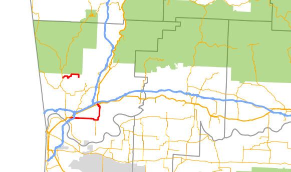
Highway 162 (AR 162, Ark. 162, and Hwy. 162) is a designation for two east–west state highways in Crawford County, Arkansas. One segment of 5.39 miles (8.67 km) runs east from Highway 59 in Cedarville to Crawford County Road 25 (Hobbtown Rd) at Hobbtown. A second route of 11.29 miles (18.17 km) begins at US 64/US 71B in Van Buren and runs east to Interstate 40/US 71/US 71B (I-40/US 71/US 71B) in Alma. Both routes are maintained by the Arkansas State Highway and Transportation Department (AHTD).
Contents
- Map of AR 162 Arkansas USA
- Cedarville to Hobbtown
- Van Buren to Alma
- History
- Major intersections
- References
Map of AR-162, Arkansas, USA
Cedarville to Hobbtown
Highway 162 begins at Highway 59 in Cedarville. The route heads east before ending and becoming Crawford CR 24/Hobbtown Road just after a bridge over East Cedar Creek.
Van Buren to Alma
The route begins at US 64/US 71B in Van Buren in the southeast portion of the city. The route runs due east, passing underneath I-540/US 71 with no interchange. It continues east through Kibler to Alma.
History
The segment between Cedarville and Hobbs was added to the state highway system on June 28, 1973.
Major intersections
The entire route is in Crawford County.