Kalpana Kalpana (Editor)

Arizona World War II Army Airfields

Updated on
Edit
Like
Comment
Share on FacebookTweet on TwitterShare on LinkedInShare on Reddit
Type
  
Army Airfields

In use
  
1940-Present

Built
  
1940-1944

Arizona World War II Army Airfields

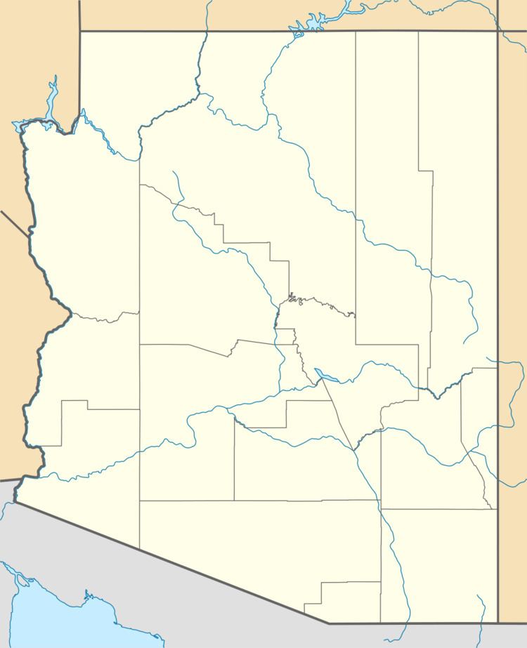
During World War II, the United States Army Air Forces (USAAF) established numerous airfields in Arizona for training pilots and aircrews of USAAF fighters and bombers.

Contents

Most of these airfields were under the command of Fourth Air Force or the Army Air Forces Training Command (AAFTC) (A predecessor of the current-day United States Air Force Air Education and Training Command). However, the other USAAF support commands (Air Technical Service Command (ATSC); Air Transport Command (ATC) or Troop Carrier Command) commanded a significant number of airfields in a support roles.

It is still possible to find remnants of these wartime airfields. Many were converted into municipal airports, some were returned to agriculture and several were retained as United States Air Force installations and were front-line bases during the Cold War. Hundreds of the temporary buildings that were used survive today, and are being used for other purposes.

Major Airfields

Air Transport Command

  • Coolidge Army Air Field, 6 miles (9.7 km) southeast of Coolidge
  • Now: Coolidge Municipal Airport (IATA: P08)
  • Winslow Municipal Airport, Winslow
  • Now: Winslow-Lindbergh Regional Airport (IATA: INW, ICAO: KINW)

    Fourth Air Force

  • Davis-Monthan Field, Tucson
  • 32nd Air Base Squadron / 32nd Base Headquarters and Air Base Squadron; 20 April 1941-1 April 1944 233rd Army Air Force Base Unit (Combat Crew Training Station, Very Heavy)(Second AF); 1 April 1944-16 November 1945 Now: Davis-Monthan Air Force Base.

    Air Technical Service Command

  • Tucson Army Air Field, Tucson
  • Joint Use USAAF/Civil Airport Now: Tucson International Airport (IATA: TUS, ICAO: KTUS) and Tucson Air National Guard Base, home to the 162d Fighter Wing, Arizona Air National Guard

    Known Secondary Facilities

  • Ernest Love Field 34°39′16″N 112°22′33″W
  • (8 mi (13 km) north-northeast of Prescott); USAAF Limited Usage
  • Laguna Army Airfield 32°51′36″N 114°23′48″W
  • (6 mi (9.7 km) northeast of the Laguna Diversion Dam); USAAF Limited Usage
  • Sahuarita Flight Strip 31°58′12″N 110°55′12″W (2 mi (3.2 km) east of Sahuarita); Aux to Davis-Monthan AAF
  • References

    Arizona World War II Army Airfields Wikipedia