
Existed: 1962 – present Length 49.34 km | Constructed 1962 | |
 | ||
West end: SR 260 near Heber-Overgaard | ||
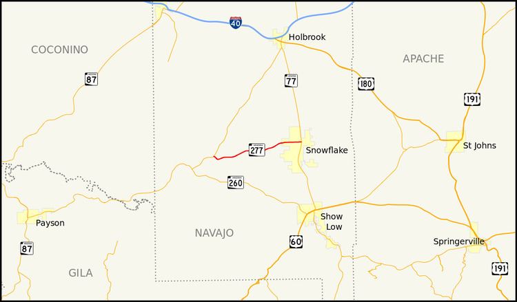
State Route 277 (SR 277) is a highway in Navajo County, Arizona, that runs from its junction with SR 260 in Heber-Overgaard to its junction with SR 377 in Snowflake. It is an east–west route.
Contents
Map of AZ-277, Snowflake, AZ 85937, USA
Route description
SR 277 is a 30.66-mile (49.34 km) highway that provides a direct route connecting Heber-Overgaard and Snowflake. It does not pass through any other cities or towns. The western terminus is located at an intersection with SR 260 east of Heber-Overgaard. The highway heads northeast from this intersection and curves towards the east prior to an intersection with SR 377, which heads northeast to Holbrook while SR 277 continues to the east. It then heads east to an intersection with a spur route that provides access to a paper mill. SR 277 heads northeast from this junction and curves back towards the east as it enter the Snowflake city limits. The highway reaches its eastern terminus at an intersection with SR 77 in Snowflake.
Junction list
The entire route is in Navajo County.