
Country United States Time zone CST (UTC-6) Elevation 199 m Local time Wednesday 2:42 AM | Established November 6, 1849 ZIP codes 61356, 61368 Area 94.35 km² Population 776 (2010) | |
 | ||
Weather 11°C, Wind W at 14 km/h, 99% Humidity | ||
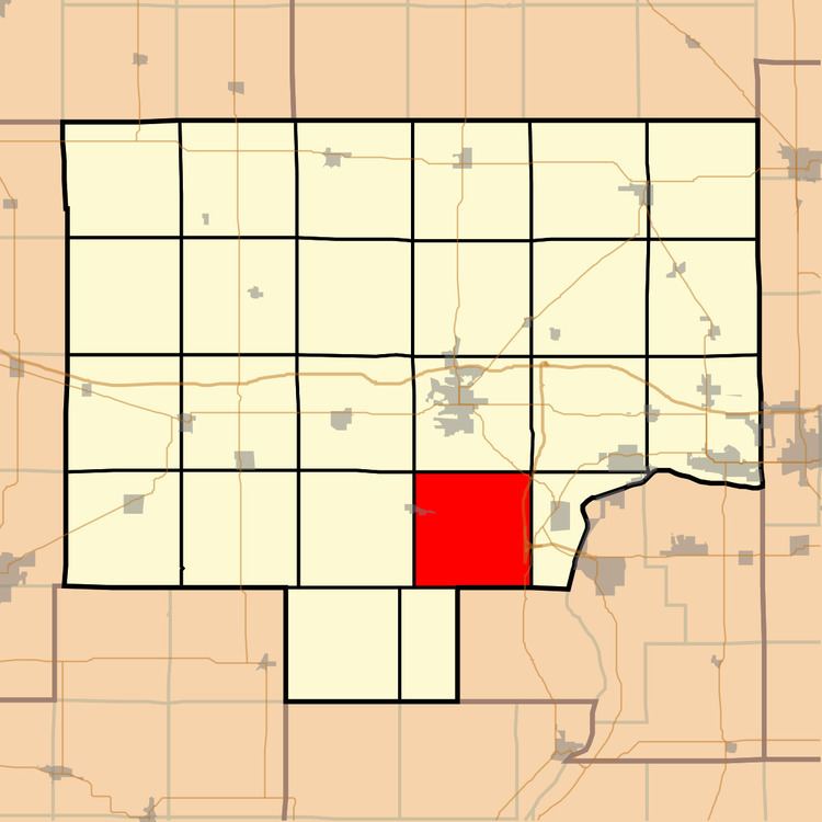
Arispie Township is one of twenty-five townships in Bureau County, Illinois, USA. As of the 2010 census, its population was 776 and it contained 371 housing units.
Contents
Map of Arispie Township, IL, USA
Geography
According to the 2010 census, the township has a total area of 36.43 square miles (94.4 km2), of which 36.27 square miles (93.9 km2) (or 99.56%) is land and 0.16 square miles (0.41 km2) (or 0.44%) is water.
Cities
Major highways
Lakes
Political districts
References
Arispie Township, Bureau County, Illinois Wikipedia(Text) CC BY-SA