
Launch date 28 July 2006 | ||
 | ||
Operator Korea Aerospace Research Institute Similar Ikonos, WorldView‑1, QuickBird, GeoEye‑1, WorldView‑2 | ||
Arirang 2 satellite spots images of possible plane debris
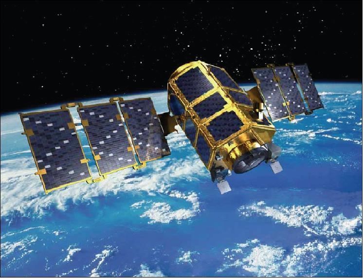
Arirang-2, also known as KOMPSAT-2, is a South Korean multipurpose satellite. It was launched from Plesetsk, Russia at 4:05 PM KST on 28 July 2006. It began to transmit signals at 11 PM the same day. Like the earlier Arirang-1 satellite, it takes its name from the popular Korean folk song Arirang. Its launch was the culmination of a project begun in 1999.
Contents
- Arirang 2 satellite spots images of possible plane debris
- History
- Orbit
- Instruments
- Ground receiving stations
- Advantages and applications of KOMPSAT 2 imagery
- References
Arirang-2 orbits at a height of 685 kilometers, circling the Earth 14 times per day, and is expected to maintain that orbit for 3 years. It weighs 765 kilograms.
The satellite carries a high-powered digital camera which can distinguish to a 1-meter resolution, allowing the identification of individual vehicles on the ground. Among other purposes, this will allow the South Korean intelligence service to observe North Korean military activities. Prior to the launch of this satellite, the South Koreans had been largely dependent upon surveillance information provided by the United States.
The satellite was succeeded by Arirang-3 and Arirang-3A, which were launched on 2012 and 2015 respectively.
History
South Korea started the KOMPSAT programme in 1995 to nurture its national Earth-imaging industry and supply services for remote-sensing applications. The South Korean KOMPSAT-2 Earth-imaging satellite was developed by KARI (Korea Aerospace Research Institute), in partnership with EADS Astrium, to assure continuity with the KOMPSAT-1 satellite launched in 1999. KOMPSAT-2 was orbited on 28 July 2006 by a Rockot launcher from Plessetsk, Russia. Spot Image was the distributor of KOMPSAT-2 imagery until April, 2011. SI Imaging Services is the worldwide exclusive distributor of KOMPSAT imagery including KOMPSAT-2 since November, 2012.
Orbit
KOMPSAT-2 operates in a near-polar, circular Sun-synchronous orbit. The orbital parameters are:
Instruments
KOMPSAT-2’s instruments are designed to acquire high- and very-high-resolution imagery with a footprint of 15 km. The satellite has the capacity to acquire 20 minutes of imagery on each orbit and it can steer its sensors both ways out to 30° off track. Panchromatic and multispectral images can be acquired at the same time. KOMPSAT-2 radiometer features:
Ground receiving stations
Two receiving stations deliver KOMPSAT-2 imagery 1 to 3 days after acquisition and in under 24 hours in Europe. The Deajeon station in South Korea is responsible for tasking the satellite. The Toulouse station in France is responsible for updating the catalogue, producing imagery and delivering it to its customers.
Advantages and applications of KOMPSAT-2 imagery
KOMPSAT-2 is designed for very-high-resolution (VHR) remote-sensing applications, such as: