
FIPS code 01-02320 Elevation 248 m Local time Tuesday 10:48 PM | Time zone Central (CST) (UTC-6) GNIS feature ID 0156000 Population 4,175 (2013) | |
 | ||
Weather 17°C, Wind S at 14 km/h, 96% Humidity Area 31.86 km² (31.6 km² Land / 26 ha Water) | ||
Dui attorney argo alabama dui lawyer help argo al drunk driving arrest
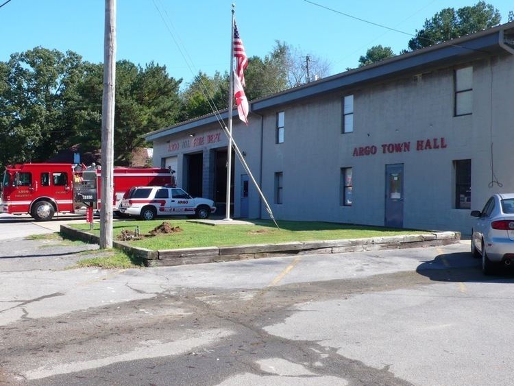
Argo is a town in Jefferson and St. Clair counties, Alabama, United States. It incorporated in 1987. At the 2010 census the population was 4,071.
Contents
- Dui attorney argo alabama dui lawyer help argo al drunk driving arrest
- Map of Argo AL USA
- Geography
- 2000 Census data
- 2010 census
- References
Map of Argo, AL, USA
Geography
Argo is located at 33°42′1″N 86°30′44″W (33.700210, -86.512357).
According to the U.S. Census Bureau, the town has a total area of 12.3 square miles (32 km2), of which 12.2 square miles (32 km2) is land and 0.1 square miles (0.26 km2) (0.81%) is water.
2000 Census data
As of the census of 2000, there were 1,780 people, 664 households, and 501 families residing in the town. The population density is 146.3 people per square mile (56.5/km2). There were 726 housing units at an average density of 59.7 per square mile (23.0/km2). The racial makeup of the town was 98.82% White, 0.17% Black or African American, 0.06% Native American, 0.06% Asian, 0.06% Pacific Islander, and 0.84% from two or more races. 0.73% of the population were Hispanic or Latino of any race.
There were 664 households out of which 39.3% had children under the age of 18 living with them, 65.5% were married couples living together, 6.3% had a female householder with no husband present, and 24.4% were non-families. 21.4% of all households were made up of individuals and 7.4% had someone living alone who was 65 years of age or older. The average household size was 2.68 and the average family size was 3.14.
In the town, the population was spread out with 28.0% under the age of 18, 6.5% from 18 to 24, 33.8% from 25 to 44, 23.1% from 45 to 64, and 8.6% who were 65 years of age or older. The median age was 36 years. For every 100 females there were 108.7 males. For every 100 females age 18 and over, there were 104.8 males.
The median income for a household in the town was $41,167, and the median income for a family was $53,088. Males had a median income of $33,875 versus $28,625 for females. The per capita income for the town was $18,226. About 7.5% of families and 8.6% of the population were below the poverty line, including 8.1% of those under age 18 and 15.0% of those age 65 or over.
2010 census
As of the census of 2010, there were 4,071 people, 1,393 households, and 583 families residing in the town. The population density is 333.7 people per square mile (129.2/km2). There were 1,492 housing units at an average density of 122.3 per square mile (47.4/km2). The racial makeup of the town was 94.1% White, 3.6% Black or African American, 0.4% Native American, 0.3% Asian, 0.1% Pacific Islander, and 1.3% from two or more races. 0.5% of the population were Hispanic or Latino of any race.
There were 1,393 households out of which 41.9% had children under the age of 18 living with them, 70.3% were married couples living together, 8.5% had a female householder with no husband present, and 17.1% were non-families. 14.0% of all households were made up of individuals and 4.4% had someone living alone who was 65 years of age or older. The average household size was 2.92 and the average family size was 3.22.
In the town, the population was spread out with 29.2% under the age of 18, 6.9% from 18 to 24, 31.7% from 25 to 44, 24.2% from 45 to 64, and 8.1% who were 65 years of age or older. The median age was 34.6 years. For every 100 females there were 99.6 males. For every 100 females age 18 and over, there were 98.4 males.
The median income for a household in the town was $53,917, and the median income for a family was $60,313. Males had a median income of $39,000 versus $35,072 for females. The per capita income for the town was $21,409. About 8.2% of families and 9.2% of the population were below the poverty line, including 14.3% of those under age 18 and 2.8% of those age 65 or over.