
Website www.argencola.cat Local time Tuesday 11:07 PM | Elevation 716 m (2,349 ft) Area 47.1 km² | |
 | ||
Demonym(s) Argençolenc, argençolenca Weather 7°C, Wind W at 21 km/h, 55% Humidity | ||
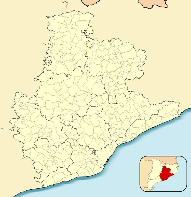
Argençola ([ərʒənˈsɔɫə]) is a municipality in the comarca of the Anoia in Catalonia, Spain. It is situated in the east of the comarca, bordering the Segarra and the Conca de Barberà. The Anoia river has its source on the territory of the municipality. A local road links the municipality with the main N-II road from Barcelona to Lleida.
Contents
Map of Argen%C3%A7ola, 08717, Barcelona, Spain
Subdivisions
The municipality of Argençola includes six outlying villages. Populations are given as of 2001:
References
Argençola Wikipedia(Text) CC BY-SA