
Vehicle registration ΚΜ | Time zone EET (UTC+2) Local time Tuesday 10:26 PM | |
 | ||
Weather 11°C, Wind NW at 10 km/h, 90% Humidity | ||
Arfara (Greek: Αρφαρά) is a village and a former municipality in Messenia, Peloponnese, Greece. Since the 2011 local government reform it is part of the municipality Kalamata, of which it is a municipal unit. The municipal unit has an area of 87.615 km2. Population 2,648 (2011). The village Arfara lies about 15 km from Kalamata. Its name is taken from the first people who lived in Upper Arfara, the Arfaras, some of whom still live in Simi and Rodos. It was the seat of the former Arfara municipality. Arfara has 3 small areas called Servia, Lafazaneika, Skomara and Karagiorgaika.
Contents
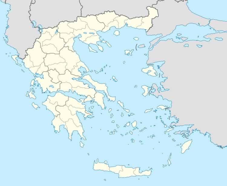
Map of Arfara 240 09, Greece
Subdivisions
The municipal unit Arfara is subdivided into the following communities (constituent villages in brackets):
References
Arfara Wikipedia(Text) CC BY-SA