
Country United States Time zone CST (UTC-6) Elevation 177 m Local time Tuesday 2:01 PM | Established November 6, 1923 ZIP codes 62611, 62618, 62691 Area 94.72 km² Population 760 (2010) | |
 | ||
Weather 22°C, Wind S at 27 km/h, 66% Humidity | ||
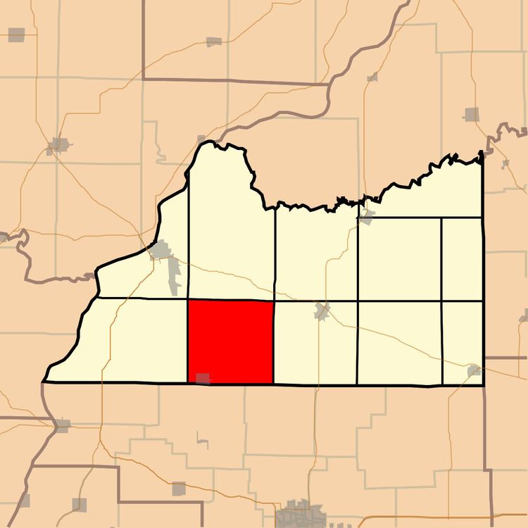
Arenzville Township is one of eleven townships in Cass County, Illinois, USA. As of the 2010 census, its population was 760 and it contained 343 housing units.
Contents
- Map of Arenzville Township IL USA
- Geography
- Cities towns villages
- Cemeteries
- School districts
- Political districts
- References
Map of Arenzville Township, IL, USA
Geography
According to the 2010 census, the township has a total area of 36.57 square miles (94.7 km2), all land.
Cities, towns, villages
Cemeteries
The township contains these thirteen cemeteries: Arenzville City East, Arenzville City North, Buck, Green-Krohe, Huffman, James Davis, Jockisch Methodist, Krohe, Monroe, Treadway-Miller, Trinity Lutheran, Tureman and Wiggens.
School districts
Political districts
References
Arenzville Township, Cass County, Illinois Wikipedia(Text) CC BY-SA