
Intercommunality Aunis Sud Area 15.7 km² | Canton Aigrefeuille-d'Aunis Population (2009) 782 Local time Tuesday 5:49 PM | |
 | ||
Weather 9°C, Wind W at 32 km/h, 67% Humidity | ||
Ardillières is a French commune in the Charente-Maritime department in the Nouvelle-Aquitaine region of southwestern France.
Contents
- Map of 17290 ArdilliC3A8res France
- Geography
- Administration
- Demography
- Distribution of Age Groups
- Civil heritage
- Religious heritage
- Notable people linked to the commune
- References
Map of 17290 Ardilli%C3%A8res, France
The inhabitants of the commune are known as Ardilliérois or Ardilliéroises
Geography
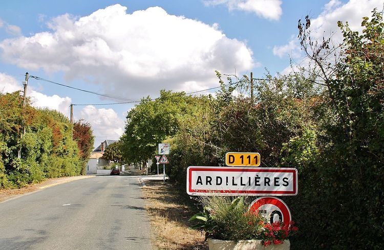
Ardillières is located some 25 km south-east of La Rochelle and 20 km east of Châtelaillon-Plage. Access to the commune is by the D111 road from Ciré-d'Aunis in the west passing through the commune and the village and continuing to the east. The D208 road also goes north-east from the village to join the D939 at Le Cher. The D205E2 also goes north-west from the village to Le Thou. Apart from the village there are also the hamlets of Les Perrieres, Toucherit, Villeneuve, and Bois des Mottes. The commune is entirely farmland apart from a few small patches of forest.
The southern portion of the commune is covered with a network of canals which link to the Charras Canal which crosses the south of the commune from west to east.
Administration
List of Successive Mayors
(Not all data is known)
Demography
In 2009 the commune had 782 inhabitants. The evolution of the number of inhabitants is known from the population censuses conducted in the commune since 1793. From the 21st century, a census of communes with fewer than 10,000 inhabitants is held every five years, unlike larger towns that have a sample survey every year.
Sources : Ldh/EHESS/Cassini until 1962, INSEE database from 1968 (population without double counting and municipal population from 2006)
Distribution of Age Groups
The population of the town is relatively young. The ratio of persons above the age of 60 years (16.5%) is lower than the national average (21.6%) and the departmental average (28.1%). Unlike national and departmental allocations, the male population of the town is greater than the female population (50.1% against 48.4% nationally and 48.2% at the departmental level).
Percentage Distribution of Age Groups in Ardillières and Charente-Maritime Department in 2009
Sources:
Civil heritage
The commune has several sites and buildings that are registered as historical monuments:
Religious heritage
The Parish Church of Saint Peter (11th century) is registered as an historical monument. The Church has a Bronze Bell (1635) which is registered as an historical object.