
Area 6.59 km² | Canton Aytré Population (2008) 6,049 Local time Friday 5:13 PM | |
 | ||
Weather 16°C, Wind S at 21 km/h, 65% Humidity | ||
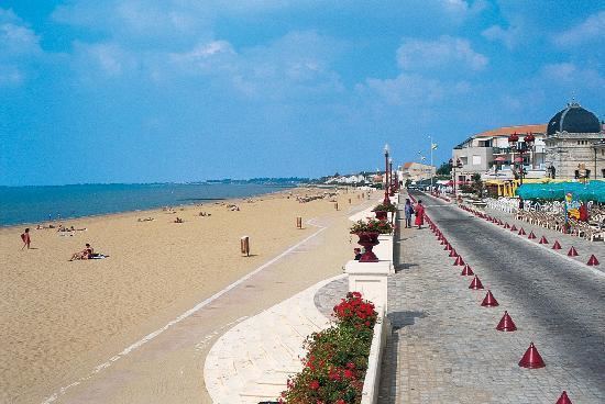
Châtelaillon-Plage is a commune in the Charente-Maritime department in southwestern France.
Contents
Map of Ch%C3%A2telaillon-Plage, France
It is located south of the city of La Rochelle and is also a suburb. It is twinned with Knebworth in England.
History
In the 16th century near the point of Cornard today featured a fortress known as Castrym Allionis, the old capital of Aunis. On August 1130, the Duke of Aquitaine William X of Poitiers, sieged the château. The leader of the place Isembert deprived its troops. The rest of the fortress were totally despaired in the 16th century, a small hamlet with bells of the swamps. During the 19th century, it had agricultural area in Boucholeurs. At the end of the nineteenth century, it was linked with rail, it constructed its first baths bains de mar with numerous villas.
Today, the location of the mediaeval château is uncertain, it may also located by the Turge.
Education
Twin towns – Sister cities
Châtelaillon-Plage is twinned with: