
Intercommunality Argonne Ardennaise Area 4.28 km² Population 89 (2007) | Canton Monthois Time zone CET (UTC+1) Local time Tuesday 5:39 PM | |
 | ||
Weather 6°C, Wind W at 14 km/h, 83% Humidity | ||
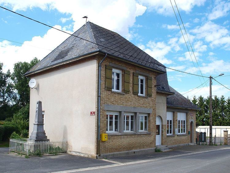
Ardeuil-et-Montfauxelles is a French commune in the Ardennes department in the Grand Est region of northern France.
Contents
Map of 08400 Ardeuil-et-Montfauxelles, France
The inhabitants of the commune are known as Ardeuillais or Ardeuillaises
Geography
Ardeuil-et-Montfauxelles is located some 25 km south of Vouziers and 16 km east by north-east of Sommepy-Tahure on the border with the Marne department which border forms the southern border of the commune. Access is by road D6 from Manre in the west passing through the commune and the village before continuing east to Montcheutin. The smaller D121 road goes from the village north-east to join the D21 south-east of Challerange. Apart from the two villages of Ardeuil and Montfauxelles the commune is entirely farmland.
The Allin river flows through the commune from west to north-east where it continues to join the Aisne river at Brécy-Brières.
Administration
List of Successive Mayors
(Not all data is known)
Demography
In 2009 the commune had 86 inhabitants. The evolution of the number of inhabitants is known from the population censuses conducted in the commune since 1793. From the 21st century, a census of communes with fewer than 10,000 inhabitants is held every five years, unlike larger towns that have a sample survey every year.
Sources : Ldh/EHESS/Cassini until 1962, INSEE database from 1968 (population without double counting and municipal population from 2006)