
Canton Pouilly-en-Auxois Time zone CET (UTC+1) Local time Tuesday 4:02 PM | Population (2009) 214 Area 15.06 km² | |
 | ||
Region Bourgogne-Franche-Comté Weather 5°C, Wind SW at 29 km/h, 82% Humidity | ||
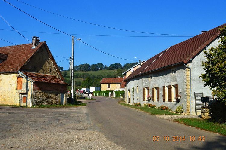
Arconcey is a French commune in the Côte-d'Or department in the Bourgogne-Franche-Comté region of eastern France.
Contents
- Map of 21320 Arconcey France
- Geography
- Administration
- Demography
- Civil heritage
- Religious heritage
- References
Map of 21320 Arconcey, France
The inhabitants of the commune are known as Arconceyens or Arconceyennes
Geography
Aroncey is located some 12 km north of Arnay-le-Duc and some 20 km east by south east of Saulieu. Access to the commune is by the D16 road from Allerey in the south passing though the village and continuing north-east to Thoisy-le-Désert. The D36 also goes from Allerey north through the western part of the commune and continuing to Beurey-Bauguay. The D115A links the village to the D36. Apart from the village there are also the hamlets of Juilly, Laneau, and Avincey. The commune is mostly farmland with a large forest in the south (Bois des Bates) and small forests scattered through the commune.
Administration
List of Successive Mayors
(Not all data is known)
Demography
In 2009 the commune had 214 inhabitants. The evolution of the number of inhabitants is known from the population censuses conducted in the commune since 1793. From the 21st century, a census of communes with fewer than 10,000 inhabitants is held every five years, unlike larger towns that have a sample survey every year.
Sources : Ldh/EHESS/Cassini until 1962, INSEE database from 1968 (population without double counting and municipal population from 2006)
Civil heritage
The commune has a number of buildings and structures that are registered as historical monuments:
Religious heritage
The commune has several religious buildings and structures that are registered as historical monuments: