
Population (2014) 169 Local time Sunday 11:33 AM | Intercommunality Pays d'Arnay Area 18.99 km² | |
 | ||
Region Bourgogne-Franche-Comté Weather 8°C, Wind S at 14 km/h, 60% Humidity | ||
Allerey sur sa ne american camp
Allerey is a French commune in the Côte-d'Or department in the Bourgogne-Franche-Comté region of eastern France.
Contents
- Allerey sur sa ne american camp
- Map of 21230 Allerey France
- Spectacle allerey
- Geography
- History
- Administration
- Demography
- Sites and monuments
- References
Map of 21230 Allerey, France
The inhabitants of the commune are known as Alériens or Alériennes
Spectacle allerey
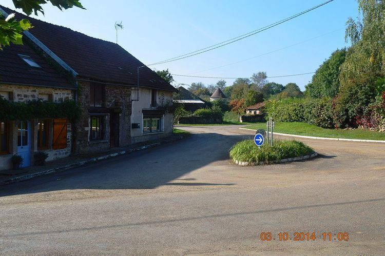
Geography
Allerey is located some 40 km north-west of Beaune and 30 km north by north-east of Autun. The D906 road passes through the western part of the commune but the village can only be accessed by smaller roads such as the D16 from the south which continues north-east to Arconcey, the D117A from the west which continues south-east to Arnay-le-Duc, and the D36 from Beurey-Bauguay in the north. The commune consists entirely of farmland except for the forested Bois de Come in the south-eastern corner.
The Ruisseau d'Angot rises in the west of the commune and flows south to join the Nailly river.
History
Allerey was the seat of a lordship in the Middle Ages and there was a Fortified house in the centre of the commune.
Administration
List of Successive Mayors
(Not all data is known)
Demography
In 2009 the commune had 169 inhabitants. The evolution of the number of inhabitants is known through the population censuses conducted in the commune since 1793. From the 21st century, a census of communes with fewer than 10,000 inhabitants is held every five years, unlike larger towns that have a sample survey every year.
Sources : Ldh/EHESS/Cassini until 1962, INSEE database from 1968 (population without double counting and municipal population from 2006)
Sites and monuments
The Church of Saint-Pierre contains two items that are registered as historical objects: