
Time zone CET (UTC+1) Local time Tuesday 9:24 AM | Population (2009) 497 Area 10.12 km² | |
 | ||
Region Bourgogne-Franche-Comté Weather 5°C, Wind S at 23 km/h, 82% Humidity | ||
Arcenant is a French commune in the Côte-d'Or department in the Bourgogne-Franche-Comté region of eastern France.
Contents
Map of Arcenant, France
The inhabitants of the commune are known as Arcenantais or Arcenantaises
Geography
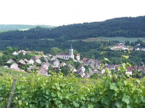
Located in the Hautes-Côtes de Nuits, between Dijon and Beaune, Arcenant is 9 km west of Nuits-Saint-Georges and 16 km north of Beaune. Access to the commune is by the D25 road from Meuilley in the east passing through the village and continuing to join the D18 just west of the commune. The commune is heavily forested with some areas of farmland around the village and in the east.
The Raccordon rises west of the village and flows east through the village and on to join the Meuzin east of Meuilly.
History
On 15 June 1944 German troops together with men from the French Milice attacked a hundred Maquis resistance fighters holed up in a place called La Grotte (The Cave). Fighting resulted in 39 dead attackers and 6 dead Maquis with 4 wounded. The six dead were: Serge Boillereau, Ferruccio Borillo, Louis Evrard, Jean Fiorese, Jean Poulet, and André Rebill. This feat of arms continues to be celebrated each year on the site of the battle.
Administration
List of Successive Mayors
(Not all data is known)
Demography
In 2009 the commune had 497 inhabitants. The evolution of the number of inhabitants is known from the population censuses conducted in the commune since 1793. From the 21st century, a census of communes with fewer than 10,000 inhabitants is held every five years, unlike larger towns that have a sample survey every year.
Sources : Ldh/EHESS/Cassini until 1962, INSEE database from 1968 (population without double counting and municipal population from 2006)