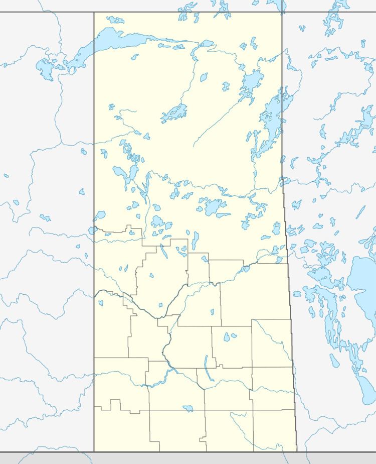
Country Canada Rural Municipality No. 456 Time zone CST Population 326 (2011) Local time Tuesday 1:06 AM | Census division No. 14 Post Office 1910 Area 88 ha Area code 306 | |
 | ||
Region Central Northeast Saskatchewan Weather -17°C, Wind S at 11 km/h, 82% Humidity | ||
Not to be confused with the original Arborfield in England.
Contents
Map of Arborfield, SK, Canada
Arborfield (2006 Population 329) is a town in east-central Saskatchewan, Canada, approximately 70 km (43 mi) northeast of Melfort. The town is located on Highway #23 14 km (8.7 mi) west of the Pasquia Hills. Arborfield is approximately 54 km (34 mi) from Nipawin, 53 km (33 mi) from Tisdale, 266 km (165 mi) from Saskatoon and 196 km (122 mi) from Prince Albert.
History
In 1910, the town requested that it be named Fairfield, but that name was rejected by the post office in Ottawa. Because the offer was received on Arbor Day, the Post Office asked if the residents would accept Arborfield, which it did. As well, the town may have been named for Arborfield, England, the site of an engineering museum.
