
Traversed by trail Elevation 3,629 m | Topo map USGS Monarch Lake Range Front Range | |
 | ||
Location Boulder / Grand counties, Colorado, U.S. Similar Arapaho Glacier, Fourth of July Trailhead, North Arapaho Peak, Rocky Mountains, Fourth of July Campground | ||
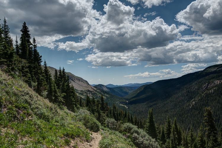
Arapaho Pass, elevation 11,906 ft (3,629 m), is a mountain pass that crosses the Continental Divide in the Front Range of the Rocky Mountains of Colorado in the United States.
Map of Arapaho Pass, Colorado 80466, USA
References
Arapaho Pass (Boulder County, Colorado) Wikipedia(Text) CC BY-SA