Highest elevation 10 m (30 ft) Time zone EET (UTC+2) Local time Tuesday 4:01 AM Municipal unit Rio | Districts 2 Lowest elevation 0 m (0 ft) Postal code 265 00 Area code 2610 Administrative region Western Greece | |
 | ||
Weather 12°C, Wind S at 0 km/h, 87% Humidity | ||
arachovitika beach rio achaea greece
Arachovitika (Greek: Αραχοβίτικα) is a village and a community in the municipal unit of Rio in the northern part of Achaea, Greece. It is situated on the Gulf of Corinth, 1 km northwest of Drepano and 6 km northeast of Rio. The Greek National Road 8A (Patras - Corinth) passes south of the village, and the railway Patras - Corinth runs through the village. The community consists of the villages Arachovitika and Kato Arachovitika. There is a port next to Cape Drepano.
Contents
- arachovitika beach rio achaea greece
- Map of Arachovitika 265 04 Greece
- Arachovitika underwater 2
- References
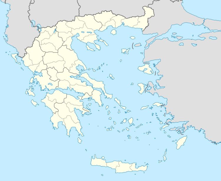
Map of Arachovitika 265 04, Greece
Arachovitika underwater 2
References
Arachovitika Wikipedia(Text) CC BY-SA
