PIN 638101 Local time Tuesday 7:18 AM Area code 0424 | Time zone IST (UTC+5:30) Telephone code 0424 Population 12,313 (2001) | |
 | ||
Weather 22°C, Wind SW at 0 km/h, 82% Humidity | ||
Arachalur is a panchayat town in Erode district in the state of Tamil Nadu, India. It is situated 22 Kilometers from Erode and an important junction on SH 37 en route to Palani and other important small towns like Kodumudi and Chennimalai.
Contents
- Map of Arachalur Tamil Nadu 638101
- Arachalai Amman Temple
- Nagamalai Andavar Temple
- Isai Kalvettu
- References
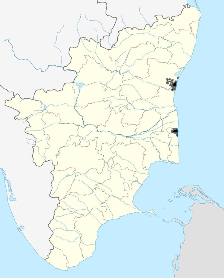
Map of Arachalur, Tamil Nadu 638101
Demographics
As of 2001 India census, Arachalur had a population of 12,313. Males constitute 50% of the population and females 50%. Arachalur has an average literacy rate of 59.4%, lower than the national average of 59.5%; with 57% of the males and 43% of females literate. 8% of the population is under 6 years of age.
There is one arts and science college for women: Navarasam Arts and Science college. The Government Higher Secondary School placed in first rank in the Erode district in academic category.
Arachalai Amman Temple
( Padai Vettum Pathrakali ) This temple was built by O. S. Duraisamy Gounder,Kottarathottam. Annual festival comes in April–May months to bring Joy and wealth to the people of this village. The festival has the famous Pookuli, manjal neerattu, temple car and other common functions.
Nagamalai Andavar Temple
This Nagamalai temple is located Thalavumalai known as Nagarajapuram present temple was built by O.S.Duraiswamy Gounder and others. This temple has historical traces of carving in a small mountain range.
Isai Kalvettu
In this thalavumalai small mountain there is music inscription in Tamil Brahimi this is the oldest kallvettu ( Fourth Century A.D ). This Thalavumalai Presently known as Nagarajapuram.
