
 | ||
Similar Krubera Cave, Lamprechtsofen, Lake Ritsa, New Athos Cave, Psou | ||
Arabika massif 1932 mistery
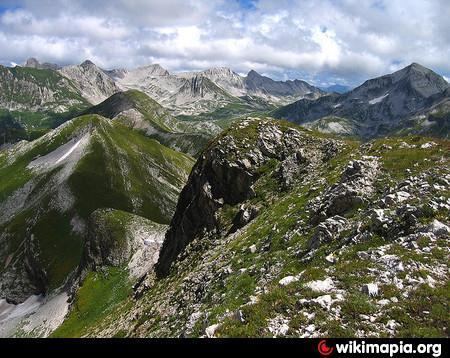
Arabika Massif is a glacially eroded karst outcropping of the Gagra Range, Abkhazia in the West Caucasus, by the city of Gagra. The highest elevation is 2,661 metres (8,730 ft).
Contents
Map of Gora Arabika
The 13-km-long massif is composed of Lower Cretaceous and Upper Jurassic limestones that dip continuously southwest to the Black Sea and plunge below the modern sea level. The area is densely wooded, with large areas of both coniferous forest and mixed woodland.
The Arabika contains a number of remarkable caves, gorges, wells, and precipices, including the Voronya Cave, the world's deepest cave. Alexander Kruber was the first to explore some of these features in 1909.
According to Rebecca Felix, the Arabica's "towering heights of limestone suggest the possibility of amazingly deep caves, boring the length of the massif and into the earth below its base".