
Elevation 782 m Local time Tuesday 12:30 AM | Area 63 km² Postal code 6719 Municipality Blenio | |
 | ||
Surrounded by Acquarossa, Ghirone, Hinterrhein (GR), Malvaglia, Medel (Lucmagn) (GR), Olivone, Torre, Vals (GR), Vrin (GR) Weather 6°C, Wind S at 14 km/h, 75% Humidity | ||
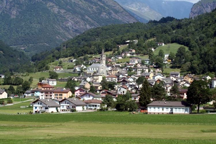
Aquila is a former municipality in the district of Blenio in the canton of Ticino in Switzerland.
Contents
Map of 6719 Aquila, Switzerland
On 25 January 2005, the cantonal authorities announced that Aquila would merge with Campo Blenio, Ghirone, Olivone and Torre to form a new municipality to be called Blenio. This union was carried through on 22 October 2006.
History
Aquila is first mentioned in 1196 as Aquili.
Around 1200, the settlement of Ghirone belonged Aquila. The present borders were established in 1853 with the final separation of the two municipalities. The parish church of San Vittore was built in 1213. It was rebuilt in 1728-30. One important source of income for the village came from money sent back by emigrants from the village to other European countries (often as chocolate makers, waiters, servants). Starting in 1914 many of the inhabitants of Aquila worked in the chocolate factory Cima-Norma in Torre Arbeit. In addition the residents also often farmed land and raised livestock. The closure of the factory in 1968 led to a large population decline. In 1990, about 39% of the population worked in manufacturing, while 49% worked in the services sector. About 60% of the worker commuted out of the village.
Historic population
The historical population is given in the following table: