
Time zone CET (UTC+1) Local time Monday 8:42 PM | Population (2008) 76 Area 30.69 km² | |
 | ||
Weather 9°C, Wind SW at 31 km/h, 84% Humidity | ||
Apremont sur allier
Apremont-sur-Allier is a commune in the Cher department in the Centre region of France.
Contents
Map of 18150 Apremont-sur-Allier, France
Apremont sur allier
Geography
An area of forestry and farming comprising a small village and two hamlets situated by the west bank of the river Allier, some 35 miles (56 km) southeast of Bourges at the junction of the D100 with the D76 and D45 roads. The river forms the boundary between the commune and the department of Nièvre.
Sights
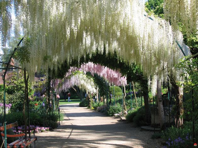
The village is a member of the Les Plus Beaux Villages de France ("The most beautiful villages of France") association.
References
Apremont-sur-Allier Wikipedia(Text) CC BY-SA