
Time zone CST (UTC-6) Elevation 209 m Local time Monday 10:38 AM | Established November 6, 1849 ZIP codes 62330, 62354, 62358 Area 78.58 km² Population 435 (2010) | |
 | ||
Weather 9°C, Wind S at 13 km/h, 65% Humidity | ||
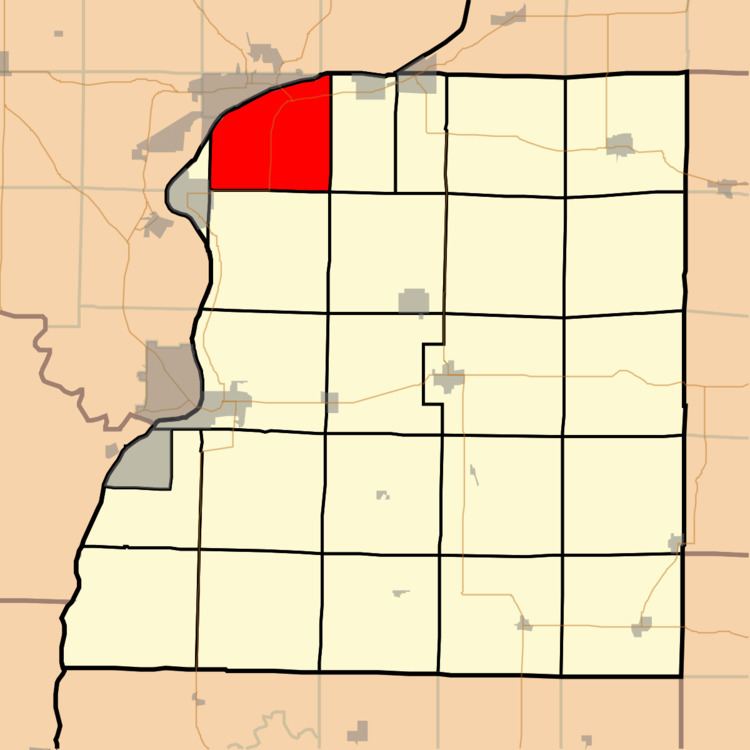
Appanoose Township is one of twenty-five townships in Hancock County, Illinois, USA. As of the 2010 census, its population was 435 and it contained 232 housing units.
Contents
- Map of Appanoose Township IL USA
- Geography
- Unincorporated towns
- Cemeteries
- Major highways
- Airports and landing strips
- School districts
- Political districts
- References
Map of Appanoose Township, IL, USA
Geography
According to the 2010 census, the township has a total area of 30.34 square miles (78.6 km2), of which 25.52 square miles (66.1 km2) (or 84.11%) is land and 4.82 square miles (12.5 km2) (or 15.89%) is water.
Unincorporated towns
(This list is based on USGS data and may include former settlements.)
Cemeteries
The township contains Appanoose Cemetery.
Major highways
Airports and landing strips
School districts
Political districts
References
Appanoose Township, Hancock County, Illinois Wikipedia(Text) CC BY-SA