
 | ||
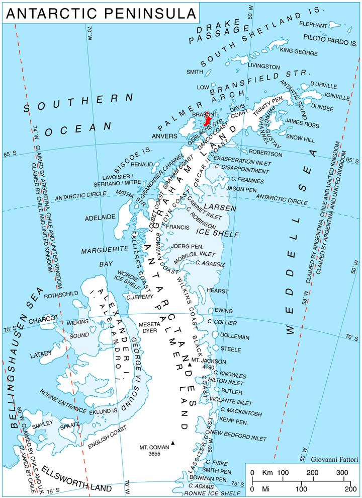
Apiaria Bight (Bulgarian: залив Апиария, ‘Zaliv Apiaria’ \'za-liv a-pi-'a-ri-ya) is the 5.7 km wide embayment indenting for 1.7 km the northwest coast of Pasteur Peninsula on Brabant Island in the Palmer Archipelago, Antarctica. It is entered northeast of Metchnikoff Point and southwest of Cape Roux, and has Soatris Island lying near the southwest side of its entrance.
Contents
The bight is named after the ancient Roman fortress of Apiaria in Northeastern Bulgaria.
Location
Apiaria Bight is centred at 64°01′40″S 62°31′00″W. British mapping in 1980 and 2008.
Maps
References
Apiaria Bight Wikipedia(Text) CC BY-SA