
Vehicle registration KF Elevation 625 m Local time Monday 12:05 PM Population 1,070 (1 Apr 2009) | Time zone CET (UTC+1) Website www.apfelberg.at Area 9.29 km² Postal code 8720 Area code 03512 | |
 | ||
Weather 10°C, Wind SW at 8 km/h, 45% Humidity | ||
Apfelberg (meaning "Apple Mountain" in German) is a former municipality in the district of Murtal in the Austrian state of Styria. Since the 2015 Styria municipal structural reform, it is part of the municipality Knittelfeld.
Contents
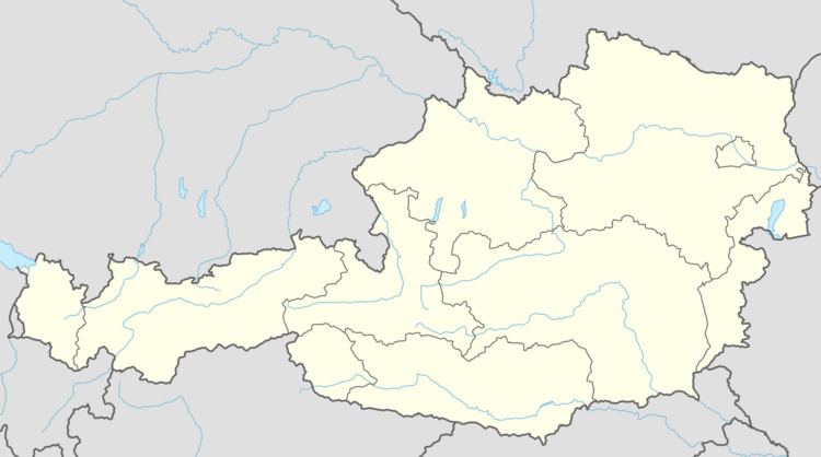
Map of Apfelberg, Austria
Geography
Apfelberg lies at the northern foot of the Gmeinberg (el. 818 m). It stretches from the southern edge of Knittelfeld to the foothills of the Gleinalp.
References
Apfelberg Wikipedia(Text) CC BY-SA