
Village-level divisions 22 villages Local time Monday 2:12 PM | County Xingtang Elevation 101 m (331 ft) Area 64.28 km² Population 39,300 (2004) Area code 0311 | |
 | ||
Country People's Republic of China Weather 17°C, Wind W at 11 km/h, 16% Humidity | ||
Anxiang (Chinese: 安香; pinyin: Ānxiāng) is a township of Xingtang County, Hebei, China. Anxiang is located 7.4 kilometres (4.6 mi) south of the county seat and 56 kilometres (35 mi) by road north of Shijiazhuang.
Contents
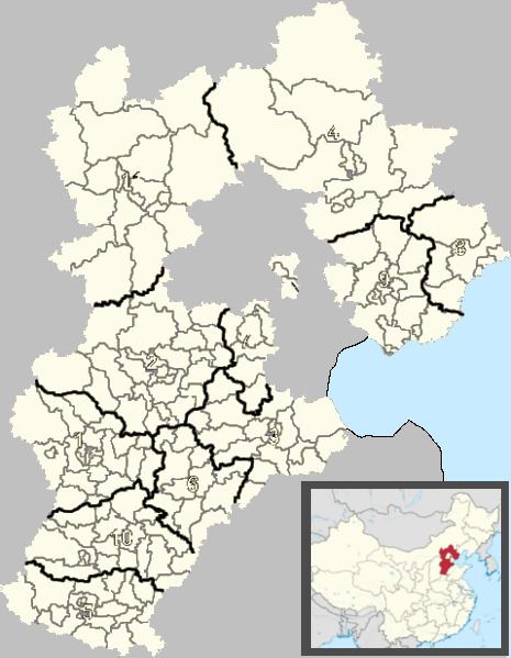
Map of Anxiangxiang, Xingtang, Shijiazhuang, Hebei, China
The township covers an area of 64.28 square kilometres (24.82 sq mi) and had a population of 39,300 in 2004.
Between 1161−1187 AD, the Hong Yan Temple was built here, later changed to the Temple of Xi'an Hong.
Economy
In 1954, primary agricultural production cooperatives were established, and developed into advanced agricultural producers' cooperatives in 1956. The township is agricultural based with 53,200 acres of arable land, the main crops being red sage root, Atractylodes, Chinese yam, Campanulaceae, astragalus, etc., with an annual output of 900 tons. Aquaculture has developed rapidly and the township has two large dairy farms. However, at the last census, 496 business enterprises were recorded in the township, industries such as plywood, machinery, nutritional supplements, aside from chicken and cattle farming.
Administrative divisions
The township contains the following villages: