
Time zone Sri Lanka (UTC+05:30) | Population 745,693 (2001) ISO 3166 code Sri Lanka | |
 | ||
Divisions ListDivisional secretariats: 22 Website ds.gov.lk/dist_anuradhapura Area 7,179 km² (6,664 km² Land / 515 km² Water) University Rajarata University of Sri Lanka Points of interest Jaya Sri Maha Bodhi, Kuttam Pokuna, Jetavanaramaya, Abhayagiri vihāra, Ruwanwelisaya Destinations Habarana, Kala Wewa, Hiriwadunna, Nochchiyagama, Rajanganaya | ||
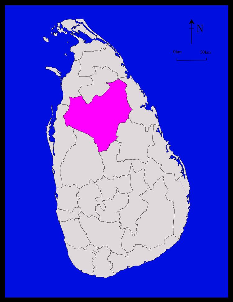
Anuradhapura (Sinhalese: අනුරාධපුර දිස්ත්රික්කය anūrādhapūra distrikkaya; Tamil: அனுராதபுரம் மாவட்டம் Aṉurātapuram māvaṭṭam) is a district in North Central Province, Sri Lanka. Its area is 7,179 km².
Contents
- Map of Anuradhapura Sri Lanka
- Major cities
- Anuradhapura district election divisions
- Demographics
- Divisional secretariats
- Maps
- Notable people whose origin was in Anuradhapura District
- References
Map of Anuradhapura, Sri Lanka
Major cities
Anuradhapura district election divisions
Demographics
The population according to the 2001 census is 745,693, of whom 90.7% were Sinhalese, 8.3% Sri Lankan Moors, 0.7% native Sri Lankan Tamils and 0.1% Tamils of Indian origin. 90.0% of the population are Buddhists, 8.4% Muslim, 1.1% Christian and 0.5% Hindu.
Divisional secretariats
Divisional secretariats constitute the next administrative division down from district.
Maps
Notable people whose origin was in Anuradhapura District
References
Anuradhapura District Wikipedia(Text) CC BY-SA