
Intercommunality Castillonnais Area 20.02 km² | Region Occitanie Population (2010) 62 Local time Sunday 9:56 PM | |
 | ||
Weather 3°C, Wind SW at 2 km/h, 86% Humidity | ||
Antras (Antràs in Occitan) is a French commune in the Ariège department in the Occitanie region of southwestern France.
Contents
Map of 09800 Antras, France
The inhabitants of the commune are known as Antrasois or Antrasoises
Geography
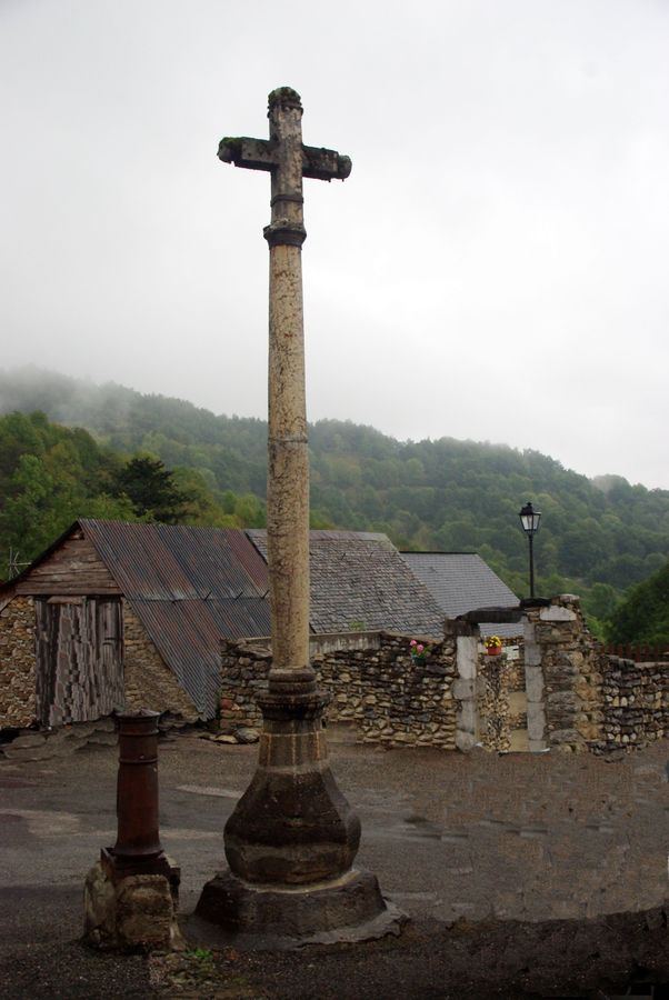
Antras is located some 25 km south-east of Saint-Gaudens, 20 km north-east of Bagneres-de-Luchon, and only 1 km from the Spanish border. It was part of the former province of Couserans in the Biros Valley. No district roads or highways pass through the commune and the only access to the village is by a mountain road (the Route d'Antras) from the D4 road at Sentein. There are few roads in the commune with some mountain tracks and unformed roads. The commune is mountainous and heavily forested.
The Ruisseau d'Antras flows from the commune down to Sentein where it joins the Lez which continues to Saint-Girons where it joins the Salat river.
Administration
List of Successive Mayors of Antras
(Not all data is known)
Demography
In 2010, the commune had 62 inhabitants. The evolution of the number of inhabitants is known through the population censuses conducted in the town since 1793. From the 21st century, a census of municipalities with fewer than 10,000 inhabitants is held every five years, unlike larger towns that have a sample survey every year.
Sources : Ldh/EHESS/Cassini until 1962, INSEE database from 1968 (population without double counting and municipal population from 2006)