
Vehicle registration ΚΑ | Time zone EET (UTC+2) Local time Sunday 12:27 PM | |
 | ||
Weather 8°C, Wind NE at 10 km/h, 89% Humidity | ||
Langadi anthiro karditsas 01 07 09
Anthiro (Greek: Ανθηρό) is a mountain village in the western part of the Karditsa regional unit, Greece. Anthiro is the seat of the municipality of Argithea. Anthiro had a population of 462 in 2011. Anthiro is located 20 km southwest of Mouzaki, 40 km west of Karditsa, and 19 km southwest of Pyli.
Contents
- Langadi anthiro karditsas 01 07 09
- Map of Anthiro 430 65 Greece
- Langadi anthiro karditsa 01 07 2011
- References
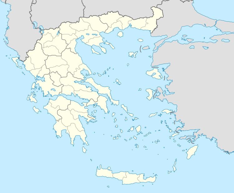
Map of Anthiro 430 65, Greece
Its residents are based in agriculture which includes honey production. There is a museum in the village. Near the village are the Korakos bridge, built in the 12th century, and the Kleftovrysi and Stavro bridges.
Langadi anthiro karditsa 01 07 2011
References
Anthiro Wikipedia(Text) CC BY-SA