
OS grid reference TQ279241 Post town HAYWARDS HEATH Dialling code 01444 | Sovereign state United Kingdom Area 38.69 km² | |
 | ||
Population 1,574 2001 Census1,756 (2011 Census) | ||
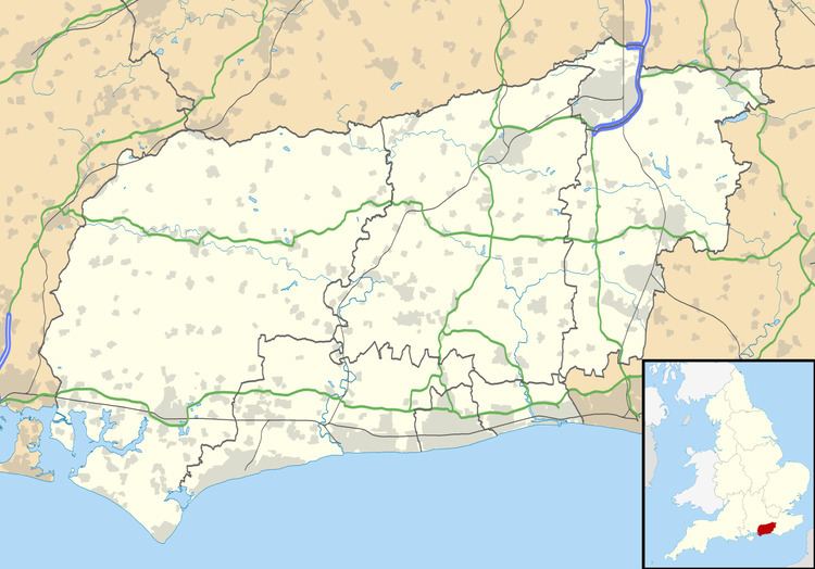
Ansty and Staplefield, previously Cuckfield Rural, is a civil parish in the Mid Sussex District of West Sussex, England, covering an area from the north-west side of Burgess Hill, the whole lying around but mostly to the west of Cuckfield civil parish, from which it was created in 1894 under the Local Government Act 1894. It includes the settlements of Ansty in the south, Staplefield to the north-west and Brook Street to the north-east. It is the largest civil parish in West Sussex, covering an area of 3,869 hectares (14.94 sq mi), and has a population of 1574 (2001 Census), increasing to 1,756 at the 2011 Census.
Map of Ansty and Staplefield, UK
Landmarks include Borde Hill Garden.
References
Ansty and Staplefield Wikipedia(Text) CC BY-SA