
Local time Sunday 1:57 AM | Area 7.43 km² Population 175 (1999) | |
 | ||
Intercommunality Val de Trézence, de la Boutonne à la Devise Weather 3°C, Wind S at 10 km/h, 83% Humidity | ||
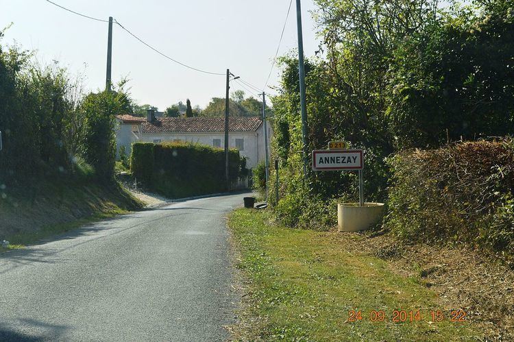
Annezay is a French commune in the Charente-Maritime department in the Nouvelle-Aquitaine region of southwestern France.
Contents
- Map of 17380 Annezay France
- Geography
- Administration
- Demography
- Distribution of Age Groups
- Religious heritage
- References
Map of 17380 Annezay, France
The inhabitants of the commune are known as Anneziens or Anneziennes
Geography
Annezay is located some 12 km south-east of Surgères and 16 km north-west of Saint-Jean-d'Angély. Access is by the D118 road from Saint-Crépin in the south-west passing through the west of the commune and continuing north to Chervettes. There is also the D213 from the village east to Saint-Loup. The D107E2 road also passes through the east of the commune from the D107 in the north to Tonnay-Boutonne in the south. Apart from the village there are also the hamlets of Le Grand Vivroux and Le Tramaillou in the commune. Apart from a few small patches of forest the commune is entirely farmland.
There are two small unnamed streams south of the village.
Administration
List of Successive Mayors
(Not all data is known)
Demography
In 2009 the commune had 159 inhabitants. The evolution of the number of inhabitants is known from the population censuses conducted in the commune since 1793. From the 21st century, a census of communes with fewer than 10,000 inhabitants is held every five years, unlike larger towns that have a sample survey every year.
Sources : Ldh/EHESS/Cassini until 1962, INSEE database from 1968 (population without double counting and municipal population from 2006)
Distribution of Age Groups
Percentage Distribution of Age Groups in Annezay and Charente-Maritime Department in 2009
Sources:
Religious heritage
The Church of Saint Peter contains a Chasuble, Stole, and Maniple (18th century) that are registered as an historical object.