
Canton Duclair Area 20.33 km² | Region Normandy Intercommunality CREA Local time Sunday 1:53 AM | |
 | ||
Weather 8°C, Wind SW at 14 km/h, 69% Humidity | ||
D part 24 heures anneville ambourville 5 6 septembre 2015
Anneville-Ambourville is a commune in the Seine-Maritime department in the Haute-Normandie region in northern France.
Contents
- D part 24 heures anneville ambourville 5 6 septembre 2015
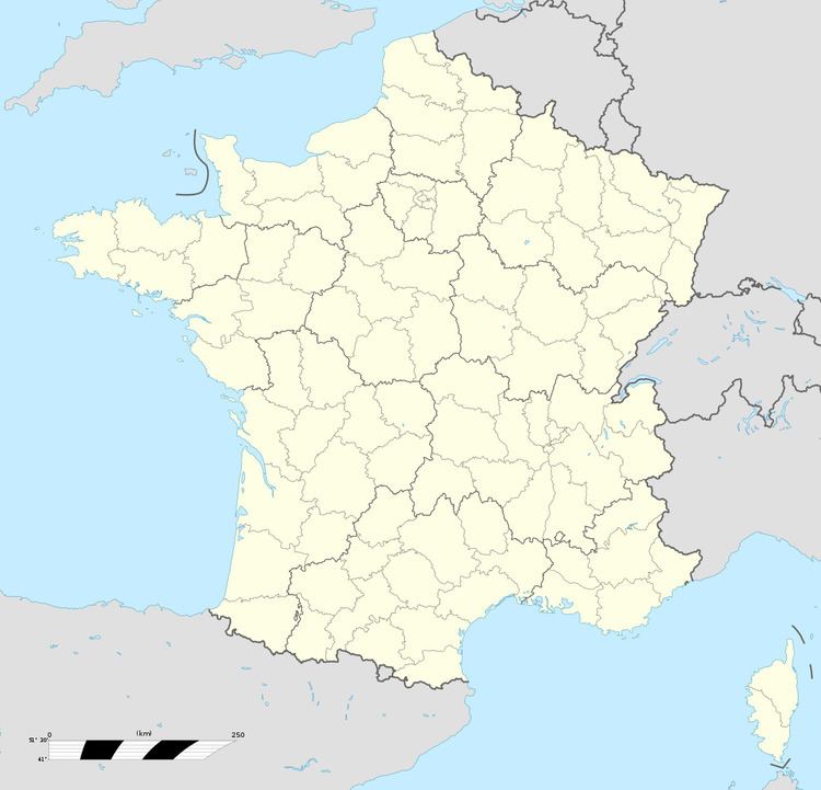
- Map of 76480 Anneville Ambourville France
- Kart kfs 160 anneville ambourville 12 03 2016
- Geography
- Places of interest
- References
Map of 76480 Anneville-Ambourville, France
Kart kfs 160 anneville ambourville 12 03 2016
Geography
Anneville-Ambourville is a quarrying and farming village situated in the Roumois, inside a meander of the river Seine, some 11 miles (18 km) northwest of Rouen near the junction of the D45 with the D64 road.
Places of interest
References
Anneville-Ambourville Wikipedia(Text) CC BY-SA