
Canton Courseulles-sur-Mer Area 2.85 km² Population 724 (1999) | Region Normandy Intercommunality Cœur de Nacre Local time Saturday 2:35 PM | |
 | ||
Weather 12°C, Wind SW at 29 km/h, 60% Humidity | ||
Anguerny is a former commune in the Calvados department in the Normandy region of northwestern France. On 1 January 2016, it was merged into the new commune of Colomby-Anguerny.
Contents
- Map of Anguerny France
- Geography
- History
- Administration
- Twinning
- Demography
- Sites and monuments
- Activities and events
- References
Map of Anguerny, France
The inhabitants of the commune are known as Agernynois or Agernynoises
Geography
Anguerny is located 10 kilometres north-west of Caen and 3 kilometres south of Douvres-la-Delivrande. The D79 from Caen passes through the west of the commune and continues to Basly. The D7 from Caen to Douvres-la-Delivrande passes just to the east of the commune. Access to the commune is by the D141 which links the D79 to the D7 passing through the village and the commune. Apart from the village the commune is entirely farmland.
History
The commune was called successively Aguerne then Aguerny before taking its current name. The parish was under the authority of the Lords of Creully.
Administration
List of Successive Mayors
(Not all data is known)
Twinning
Anguerny has twinning associations with:
Demography
In 2009 the commune had 783 inhabitants. The evolution of the number of inhabitants is known from the population censuses conducted in the commune since 1793. From the 21st century, a census of communes with fewer than 10,000 inhabitants is held every five years, unlike larger towns that have a sample survey every year.
Sources : Ldh/EHESS/Cassini until 1962, INSEE database from 1968 (population without double counting and municipal population from 2006)
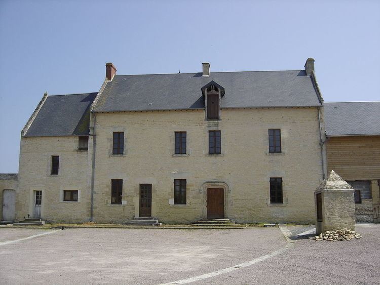
Sites and monuments
Activities and events
The Romanes d'Anguerny is held every two years in spring.