
Country United States Elevation 1,300 m Local time Saturday 6:04 AM | Time zone Mountain (MST) (UTC-7) Zip code 69331 Area code 308 | |
 | ||
Weather -21°C, Wind NW at 11 km/h, 89% Humidity | ||
How to say or pronounce usa cities angora nebraska
Angora (also Antelope Hill) is an unincorporated community in northern Morrill County, Nebraska, United States. It lies along U.S. Route 385 north of the city of Bridgeport, the county seat of Morrill County. The community was established in 1900 by the Chicago, Burlington, and Quincy Railroad; it was named for the Turkish city of Ankara, which was then known as Angora. The Angora post office was established in 1901, and it remains open with the assigned ZIP code of 69331.
Contents
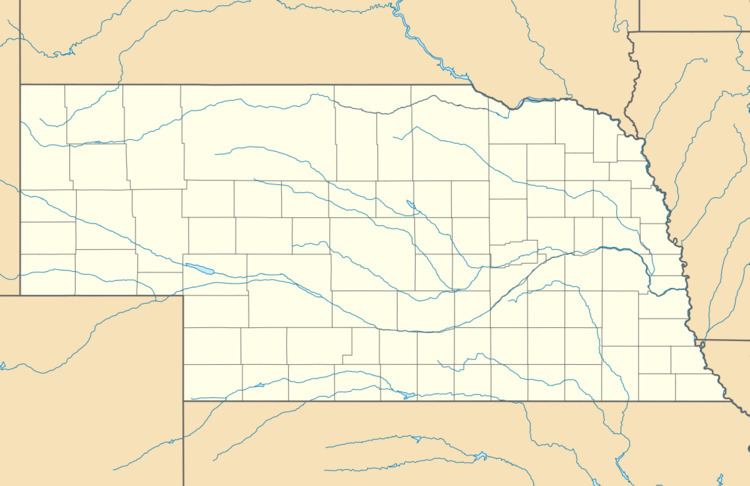
Map of Angora, NE, USA
Climate
According to the Köppen Climate Classification system, Angora has a semi-arid climate, abbreviated "BSk" on climate maps.
References
Angora, Nebraska Wikipedia(Text) CC BY-SA