
Country United States Zip Code 56711 Elevation 324 m Population 60 (2010) | Time zone Central (CST) (UTC-6) Area code(s) 218 Area 5.224 km² | |
 | ||
jim s corner border crossing at angle inlet minnesota usa
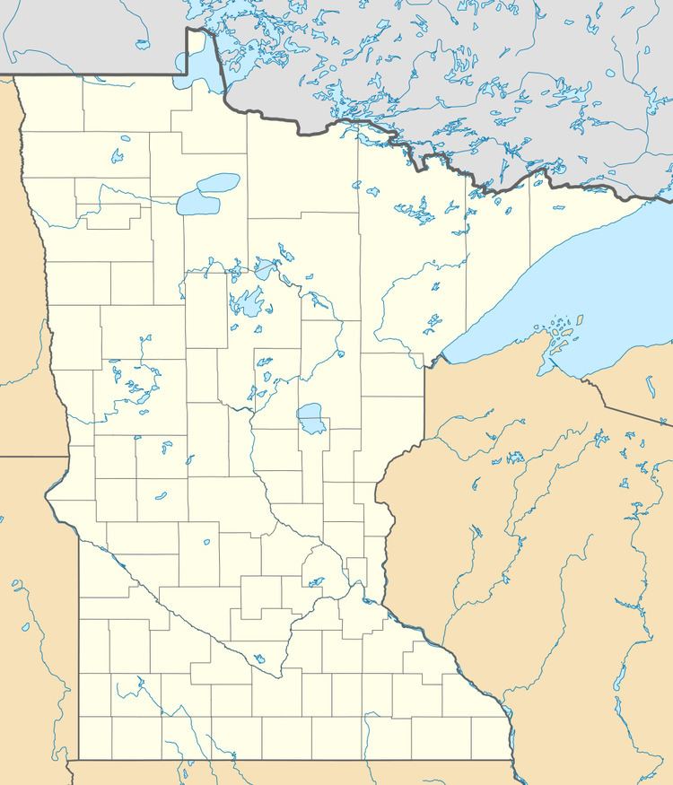
Angle Inlet is a census-designated place (CDP) and unincorporated community in Angle Township, Lake of the Woods County, Minnesota, United States. Its population was 60 as of the 2010 census. The community is part of the Northwest Angle, the only place in the contiguous United States north of the 49th parallel; it is the northernmost census-designated place in the contiguous United States. The French built Fort Saint Charles nearby in 1732.
Contents
Map of Angle Inlet, MN 56711, USA
By road, one must enter the community by first driving through the southeastern-most tip of Manitoba.
References
Angle Inlet, Minnesota Wikipedia(Text) CC BY-SA