
Time zone IST (UTC+5:30) Population 6,302 (2011) | PIN 711 302 Local time Friday 2:38 AM | |
 | ||
Weather 24°C, Wind SW at 21 km/h, 79% Humidity University Prabhu Jagatbandhu College Points of interest Andul rajbari, Rajar Pool, Rathtala, KhatirBazar Girja | ||
Andul (Bengali: আন্দুল; IAST: Āndula) is a census town in the Sankrail block under the Sadar sub-division in Howrah district in the Indian state of West Bengal. It is a local hub of commercial and industrial activity within and around Sankrail block. It is considered as one of the developing towns in the district and located near to Kolkata city.
Contents
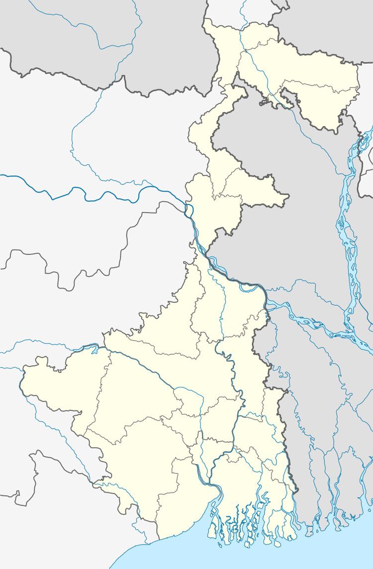
Map of Andul, Howrah, West Bengal
Krishnanagar rajbari
Geography
Andul is located at 22.58°N 88.24°E / 22.58; 88.24. It has got moderate temperature.
Demographics
As per 2011 Census of India Andul had a total population of 6,302 of which 3,182 (50%) were males and 3,120 (50%) were females. Population below 6 years was 397. The total number of literates in Andul was 5,626 (95.28% of the population over 6 years).
Andul was part of Kolkata Urban Agglomeration in 2011 census.
As of 2001 India census, Andul had a population of 5677. Males constitute 51% of the population and females 49%. Andul has an average literacy rate of 87%, higher than the national average of 59.5%; with 53% of the males and 47% of females literate. 6% of the population is under 6 years of age.
Economy
"Kamal Nursery" and "The Indian Nursery" two of the most famous names in the Indian horticulture industry are situated at Andul. Howrah Flower Growers' Association organize flower exhibition at Kamal Nursery every year.
Transport
The State Highway 6 (West Bengal) passes through Andul.