
Vehicle registration ΚΜ | Time zone EET (UTC+2) Local time Thursday 7:21 PM | |
 | ||
Weather 13°C, Wind N at 21 km/h, 60% Humidity | ||
Androusa (Greek: Ανδρούσα) is a village and a former municipality in Messenia, Peloponnese, Greece. Since the 2011 local government reform it is part of the municipality Messini, of which it is a municipal unit. The municipal unit has an area of 50.514 km2. Predominantly a farming region, the principal exports include kalamata olives, olive oil, and livestock. It is located 22 km north-west of the regional capital Kalamata. Municipal unit population 2,397 (2011), village population 628 (2011).
Contents
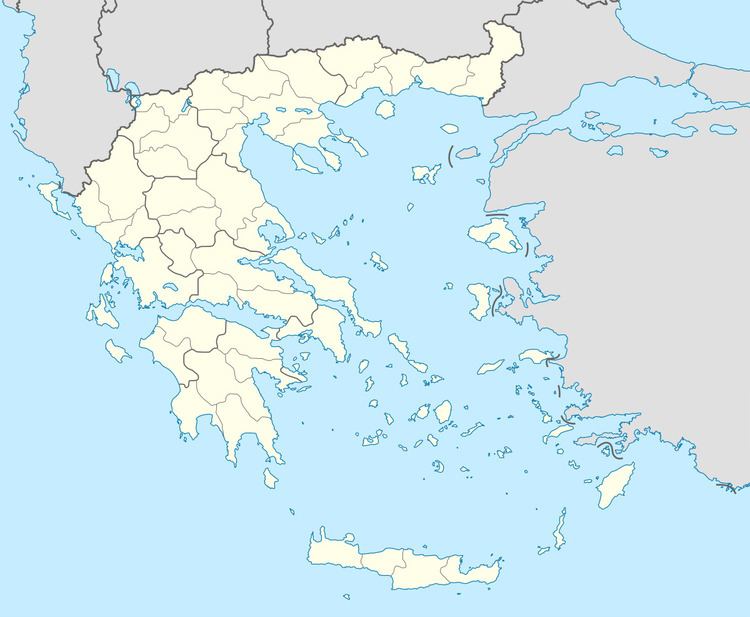
Map of Androusa 240 13, Greece
History
Androusa is recorded as being founded by William II of Villehardouin during the mid 13th century. This was the same period as when the Androusa fortress/castle is thought to have been built, of which city walls and partially ruined towers remain on the village's eastern perimeter overlooking the Pamisos River and the Messenian plain. There are alternate theories pointing to an earlier (and possible Byzantine) construction due to certain design elements of the fortress walls. Later in the 14th century, Andruosa developed into an important religions seat, becoming the base of the Episcopal with the Decree of Patriarch Athanasios (1304-1310) who was from the village. After recapture by the Byzantines, it later became part of the Ottoman Empire as with the majority of the Peloponnese after the fall of Constantinople, and largely remained this way until liberation in the Greek War of Independence.
More recently, Androusa has become a regional agricultural center for the area where olives, olive oil, figs, raisins, and wine are produced, sold, and exported.
A number of historic constructions and locations in and around Androusa still contain evidence of its Byzantine past: