
Country United States Time zone CST (UTC-6) Elevation 176 m Population 417 (2010) | State Illinois Established November 7, 1854 ZIP codes 62441, 62442, 62477 Area 84.7 km² Local time Thursday 12:25 AM | |
 | ||
Weather 2°C, Wind NW at 21 km/h, 72% Humidity | ||
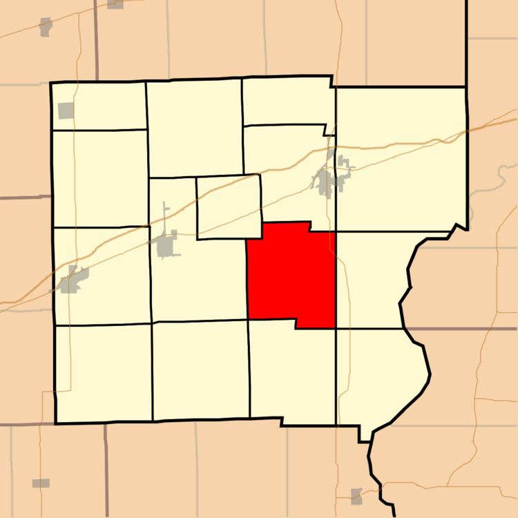
Anderson Township is one of fifteen townships in Clark County, Illinois, USA. As of the 2010 census, its population was 417 and it contained 192 housing units.
Contents
- Map of Anderson Township IL USA
- Geography
- Unincorporated towns
- Cemeteries
- Major highways
- Landmarks
- School districts
- Political districts
- References
Map of Anderson Township, IL, USA
Geography
According to the 2010 census, the township has a total area of 32.7 square miles (85 km2), of which 32.31 square miles (83.7 km2) (or 98.81%) is land and 0.39 square miles (1.0 km2) (or 1.19%) is water.
Unincorporated towns
(This list is based on USGS data and may include former settlements.)
Cemeteries
The township contains these five cemeteries: Blizzard, Fox, Norton, Shott and Ziegler.
Major highways
Landmarks
School districts
Political districts
References
Anderson Township, Clark County, Illinois Wikipedia(Text) CC BY-SA