
Elevation 960 m (3,150 ft) CPA base K4740 | Department Andalgalá Time zone ART (UTC-3) Dialing code +54 3835 Local time Thursday 1:50 AM | |
 | ||
Weather 23°C, Wind NE at 14 km/h, 48% Humidity | ||
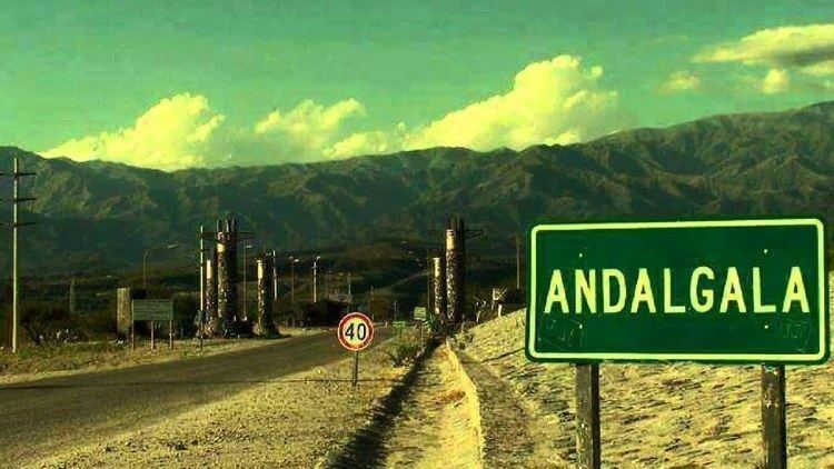
Andalgalá is a city in the west-center of the province of Catamarca, Argentina, located in a valley near the Sierra de Aconquija, 260 km from the provincial capital San Fernando del Valle de Catamarca. It has about 14,000 inhabitants as per the 2001 census . It is the head town of the department of the same name. The Andalgalá River, which flows nearby, supports a hydroelectric power plant.
Contents
Map of Andalgal%C3%A1, Catamarca Province, Argentina
Andalgalá was founded as a fort on 12 July 1658, and only became a city in 1952. Its name is of Quechua origin and means either "Lord of the Hare" or "Lord of the High Mountain".
Climate
According to the Köppen Climate Classification system, Andalgalá has a semi-arid climate, abbreviated "BSk" on climate maps. Precipitation is mainly concentrated from November to March with 80% of the annual precipitation occurring in these months.