
Elevation 500 m (1,600 ft) Time zone ART (UTC−3) Area 399 km² Local time Saturday 12:13 PM | Demonym(s) catamarqueño CPA base K4700 | |
 | ||
Weather 25°C, Wind NE at 14 km/h, 80% Humidity University National University of Catamarca | ||
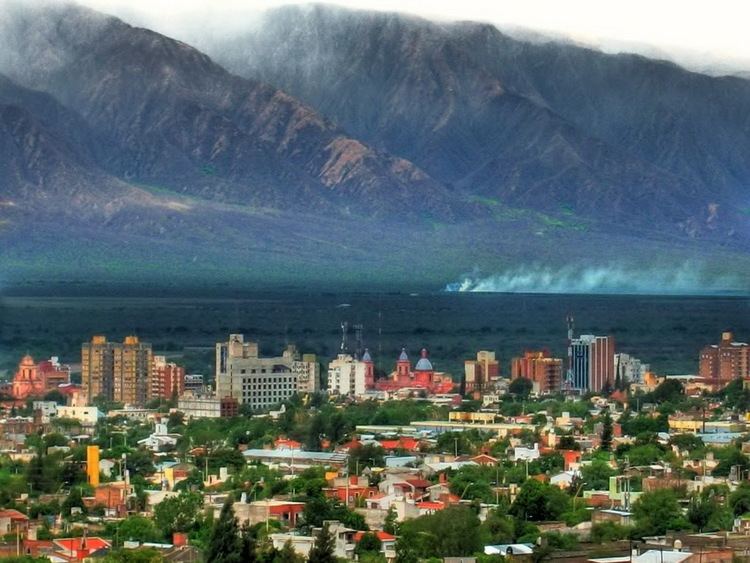
San Fernando del Valle de Catamarca ([sam feɾˈnando ðel ˈβaʝe ðe kataˈmaɾka]) is a city in northwestern Argentina and capital of Catamarca Province, on the Río Valle River, at the feet of the Cerro Ambato. The city name is normally shortened as Catamarca.
Contents
Map of Catamarca, Catamarca Province, Argentina
The city of 684 km2 (264 sq mi), located 500 m (1,640 ft) above the sea level, has 141,000 inhabitants (2001 census [INDEC]), with more than 200,000 counting the suburbia, what represents around 70% of the population of the province.
Overview
The city is located 1,130 km (702 mi) from Buenos Aires. The closest provincial capitals are La Rioja (154 km (96 mi)), Tucumán (230 km (143 mi)) and Santiago del Estero (209 km (130 mi)).
Many pilgrims come to San Fernando del Valle de Catamarca to visit the Church of the Virgin of the Valley (1694), which contains a statue of Nuestra Señora del Valle (Our Lady of the Valley).
Catamarca is also the touristic centre of the province, with its colonial architecture, and serves as a hub to many touristic points and excursions, hiking, mountain-bike tours, horse riding, and wine tasting.
San Fernando del Valle is served by Coronel Felipe Varela International Airport) (CTC/SANC), with flights to IRJ, TUC and AEP.
History and politics
An initial settlement, called Londres, was established here by Spanish colonists in 1558; a permanent settlement was not founded until 1683, by Fernando de Mendoza y Mate de Luna. Catamarca comes from Quechua meaning "fortress on the slope".
The city, which had only 8,000 inhabitants in 1882 and was reached by a railway line in 1888, grew very slowly, and the region remained poor even in the middle of the 20th century. This situation was exacerbated by nepotism on the part of the ruling Saadi family, before they lost political power in the 1990s. In spite of this, the province remains still politically unstable, and a large part of its population lives in precarious conditions.
Climate
The warm semi-arid climate (Köppen BSh) of Catamarca has an annual average of 20 °C with an average maximum temperature of 34 °C (93 °F) in summer with several days typically exceeding 43 °C (109 °F), and an average minimum of 5 °C (41 °F) in winter. Temperatures in the high mountains can drop down to −30 °C (−22 °F). The Valle (valley) receives relatively little rainfall from summer thunderstorms; most of the precipitation is received in the form of snow on the high mountain tops surrounding the city.
Economy
Agriculture is San Fernando del Valle de Catamarca's chief economic activity; however, low rainfall makes irrigation necessary. Fruit and grapes are grown in the oasis areas near the city, and there is a considerable production of wine. Other local production includes preserves and handwoven ponchos.
Cotton and cattle are important economically, as well as mining at the Farallón Negro, Bajo de la Alumbrera and Capillitas mines where gold, silver, copper and tin.