
Population 0 Elevation 417 m | Highest elevation 417 m (1,368 ft) Area 13.8 km² | |
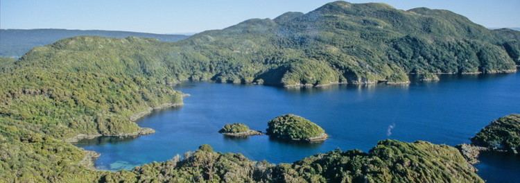 | ||
Anchor Island (Māori: Puke Nui) is a 1,380 ha (3,400 acres) island in Dusky Sound, Fiordland National Park in the Southland district of New Zealand. The island has an elevation of 417 metres (1,368 ft) and is 2.5 km (1.6 mi) from the New Zealand mainland. It is now used by the Department of Conservation as a safe haven for endangered birds such as the tieke.
Contents
- Map of Anchor Island Fiordland National Park 9691 New Zealand
- Pundamilia nyererei anchor island group trades update
- References
Map of Anchor Island, Fiordland National Park 9691, New Zealand
Pundamilia nyererei anchor island group trades update
References
Anchor Island Wikipedia(Text) CC BY-SA