Time zone EET (UTC+2) Local time Thursday 2:31 AM Municipality Sparta | Elevation 850 m Area code 27310 | |
 | ||
Weather 6°C, Wind W at 6 km/h, 75% Humidity | ||
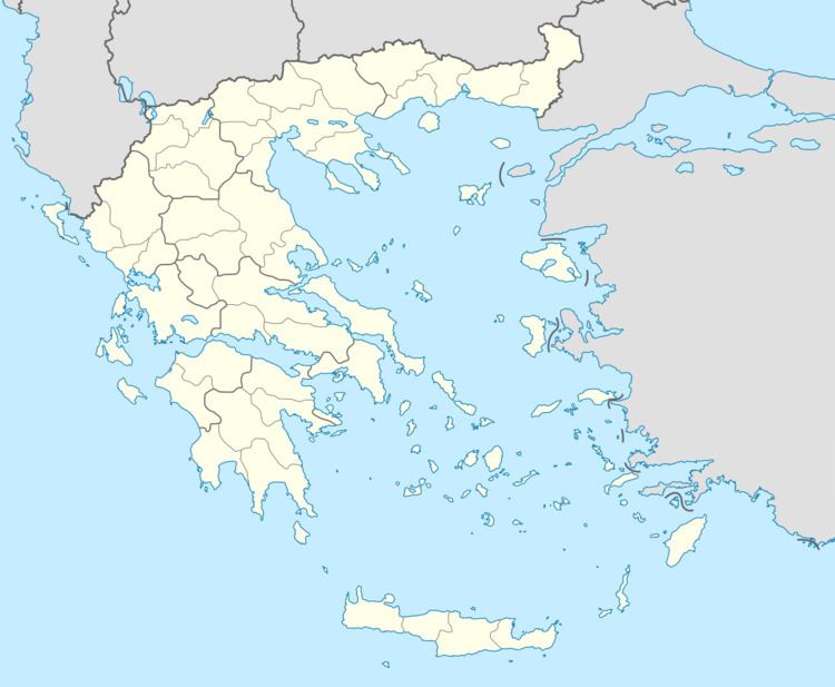
Anavryti or Anavriti (Αναβρυτή) is a small village in Laconia, Greece on Taygetus mountain, altitude 850m. Above the Evrotas valley, Anavryti is traversed by European walking route E4. It is part of the municipal unit of Mystras.
Contents
Map of Anavryti 231 00, Greece
A paved road to Anavryti was built in the 1980s with donations sent by the Anavryti Hometown society in Astoria, Queens, New York. Until that time, the village could only be accessed on foot or by donkey.
During World War II Nazi occupation, forces made the steep climb up to the village to destroy the houses of suspected partisans.
Over the years the village has been established as an eco-tourism destination. The many walking paths combined with its landscape makes the area popular with photographer. The village has a simple hotel and restaurants.
In Anavryti's Geological Museum, a variety of elements and pictures related to the fauna and flora of the village and its surroundings are exhibited. There is also an exhibit about Mount Taygetus.
There is a tradition that when the Jewish community of Mystras was expelled by the Venetians, they sought refuge in Anavryti and were the ancestors of some of today's inhabitants.
