Area 16,911 km² Population 3.349 million (2013) | Time zone EAT (UTC3) | |
 | ||
University University of Antananarivo Points of interest Rova of Antananarivo, Botanical and Zoologica, Peyrieras Reptile Reserve, Ambohimanga, Pirates Museum Clubs and Teams | ||
Coupe de madagascar 2016 pr paration analamanga cosfa st michel
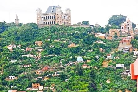
Analamanga is a region in central Madagascar, containing the capital Antananarivo and its surrounding metropolitan area. The region has an area of 16,911 square kilometres (6,529 square miles), and had an estimated population of 3,348,794 in 2013. The head of the region is Pierre Manganirina Randrianarisoa.
Contents
- Coupe de madagascar 2016 pr paration analamanga cosfa st michel
- Map of Analamanga Madagascar
- Geography
- Administrative divisions
- Protected Area
- References
Map of Analamanga, Madagascar
Geography
The region extends mainly towards the north of the capital. It is bordered by Betsiboka to the north, Bongolava and Itasy to the west, Alaotra Mangoro to the east, and Vakinankaratra to the south.
Administrative divisions
Analamanga region is divided into eight districts, which are sub-divided into 134 communes.
Protected Area
References
Analamanga Wikipedia(Text) CC BY-SA
