
Sub-region Acholi sub-region Elevation 1,000 m | Local time Wednesday 11:09 PM | |
 | ||
Weather 25°C, Wind SE at 2 km/h, 68% Humidity | ||
Glory to god rehearsal at anaka bible community church uganda
Anaka is a town in the Northern Region of Uganda. It is the site of the Nwoya District headquarters.
Contents
- Glory to god rehearsal at anaka bible community church uganda
- Map of Anaka Uganda
- Location
- Points of interest
- References
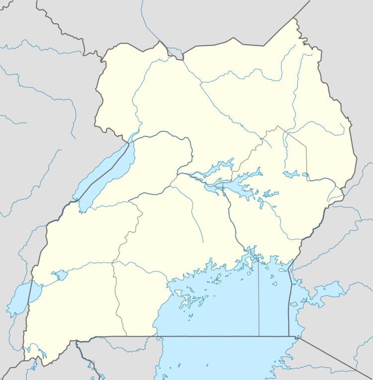
Map of Anaka, Uganda
Location
Anaka is on the Acholibur–Gulu–Olwiyo Road, the main highway between Gulu and Pakwach. It is about 53 kilometres (33 mi) south-west of Gulu, the largest city in the sub-region. The coordinates of the town are 02°36'03.0"N, 31°56'52.0"E (Latitude:2.600839; Longitude:31.947775).
Points of interest
The following points of interest lie within the town limits or close to the edges of the town:
References
Anaka Wikipedia(Text) CC BY-SA